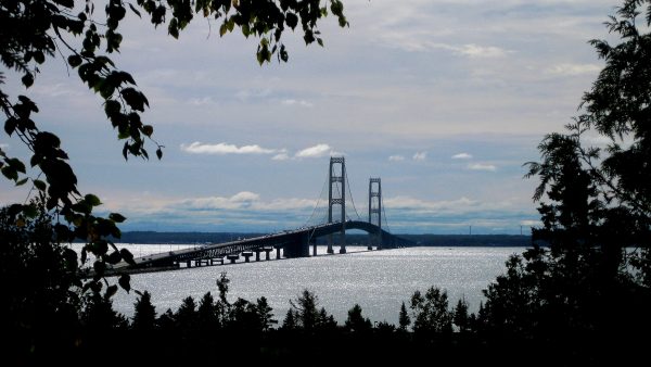
Enjoy Our Travel Adventures

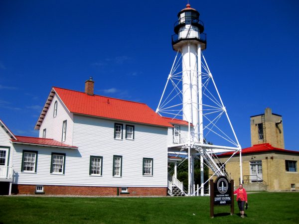
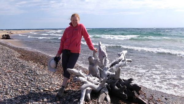
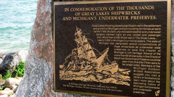
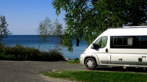
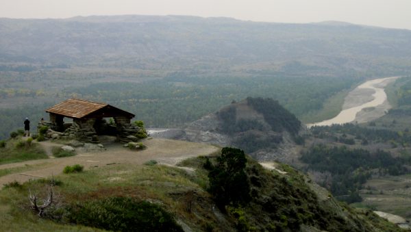
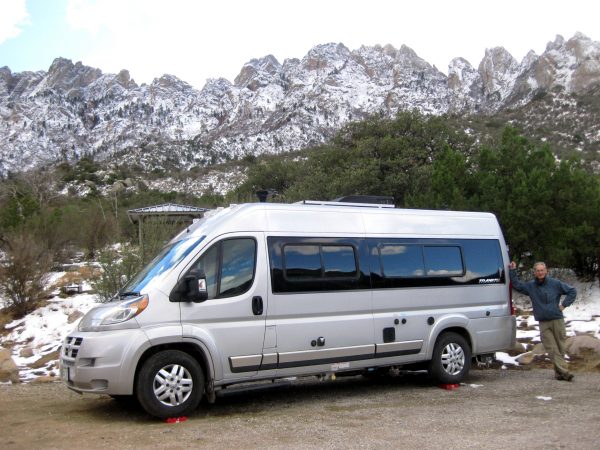

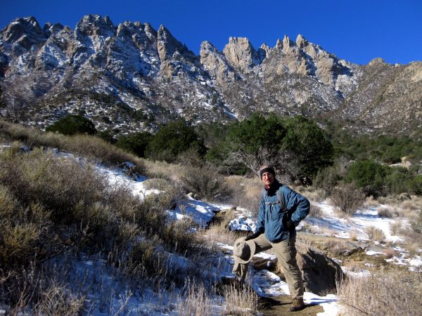
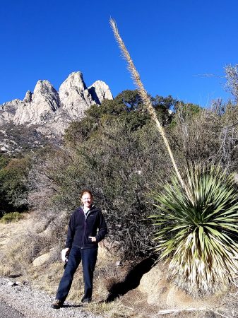
“Safer at Home and the Colorado Great Outdoors 2020”
 We are back in the shadow of the Sleeping Ute.
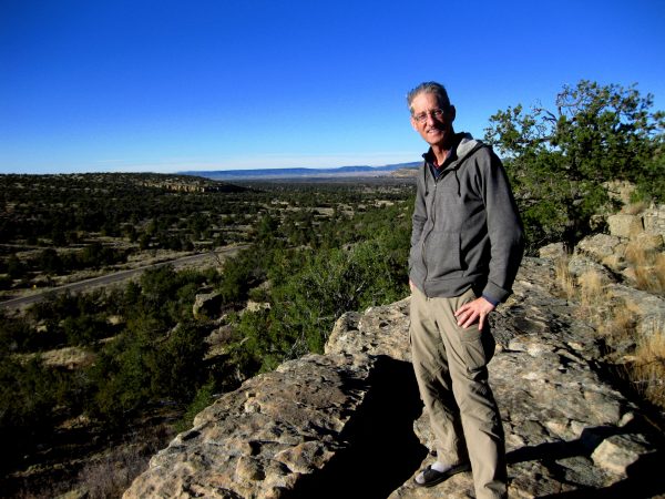
 There were still ruins we had not seen and trails we had not traversed.
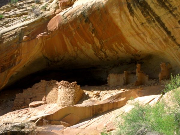
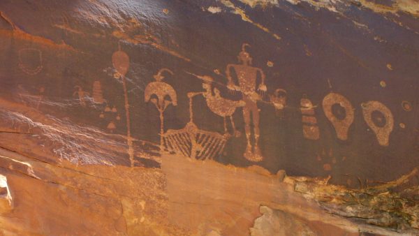
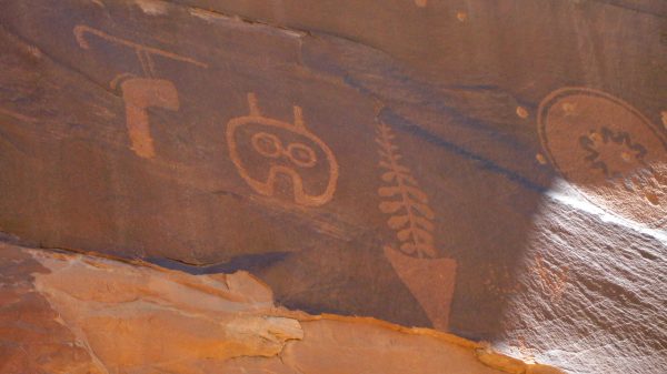
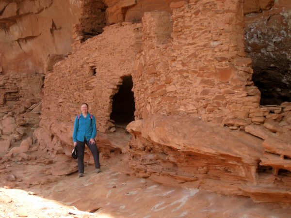
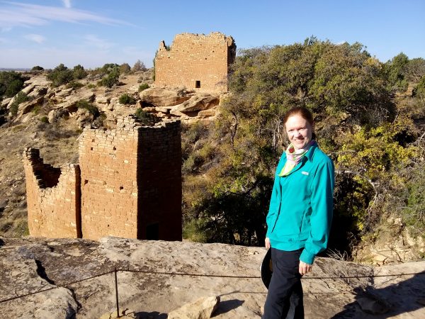
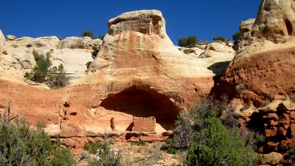
 Holly ruins can be hiked from Hovenweep NM but we disperse camped at the trailhead.
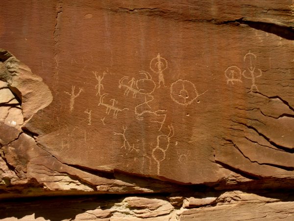
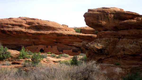
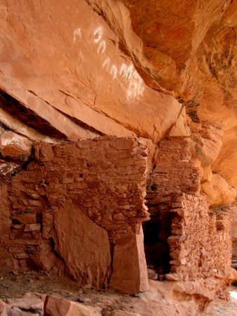
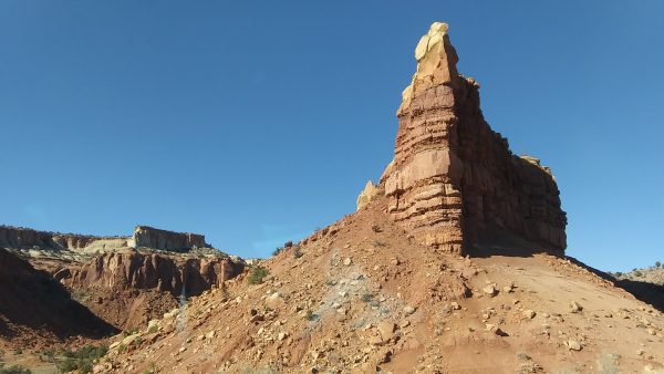
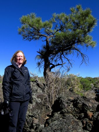
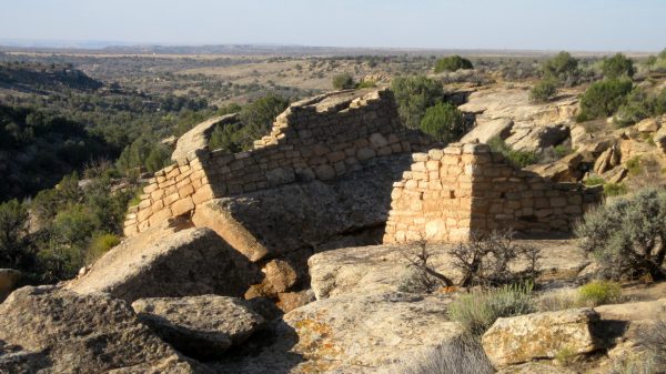
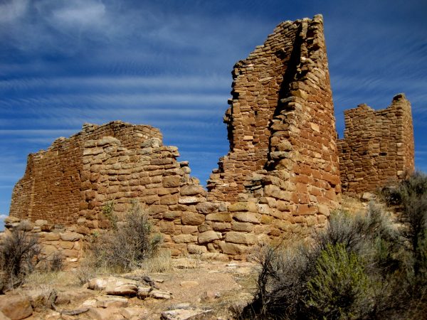
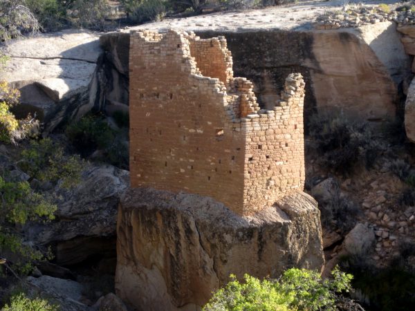 Amazing how structures are built right from the rock like a medieval tower.
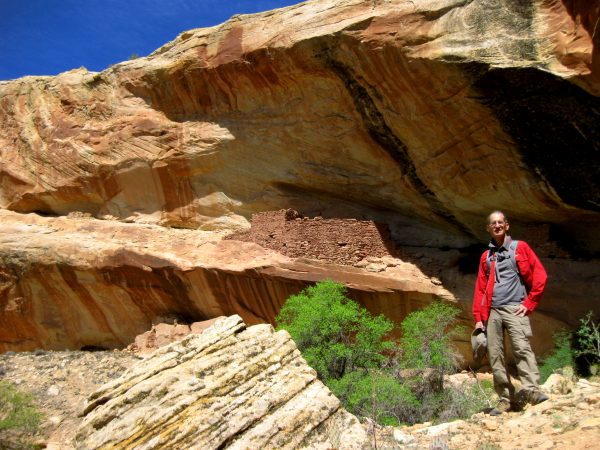
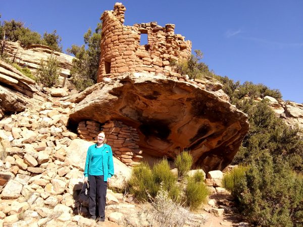 Painted Hand Tower was unique and a pleasant hike.
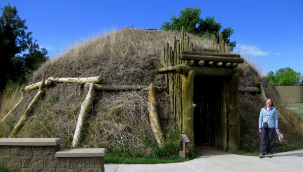
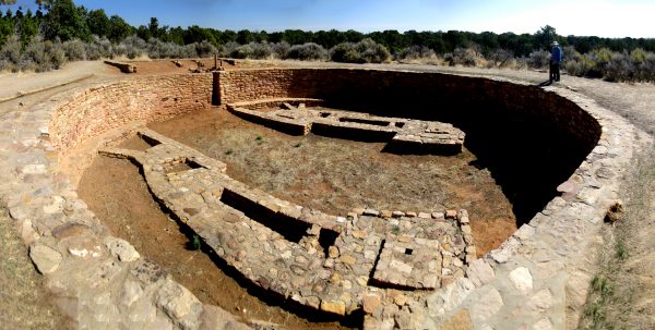 This is a panorama of the great kiva at Lowry Pueblo.
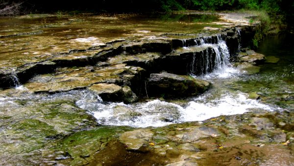
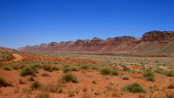
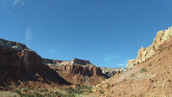
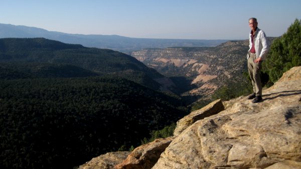 We hiked both ends of the Sand Canyon and disperse camped here on the upper north end one night with this view of the canyon…
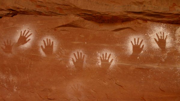
 …and these unique structures in alcoves were on the south end.
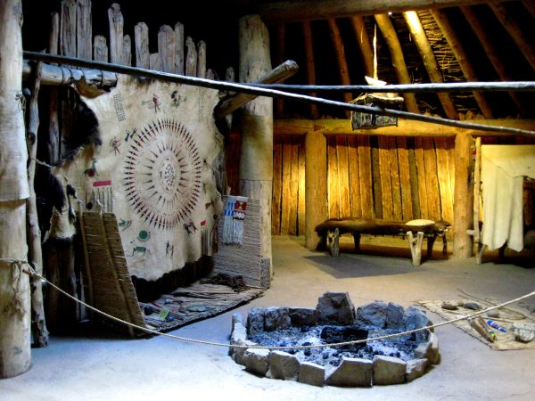
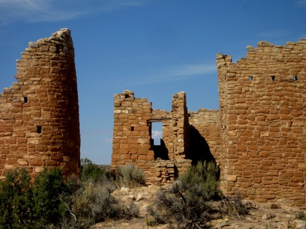 We walked around Hovenweep NM and marveled at the construction.
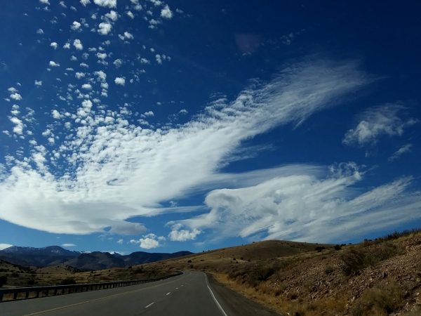
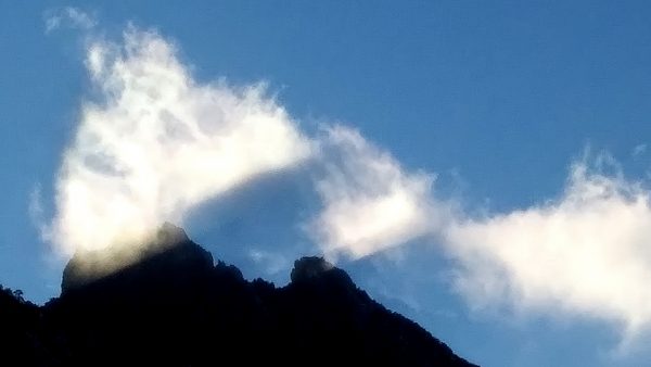
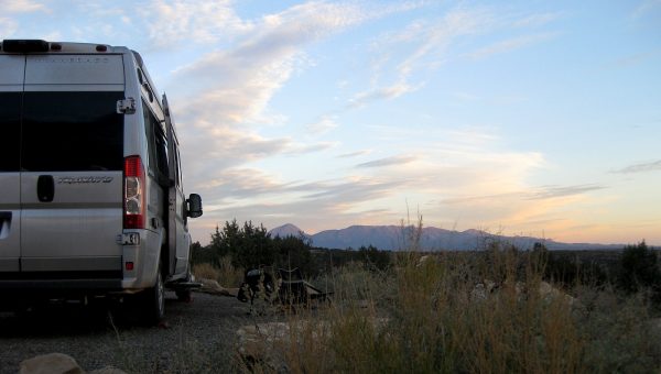
 We appreciated the interesting cloud formations.
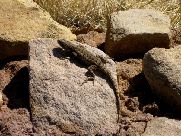 And were happy to to spot some wildlife with this lizard.
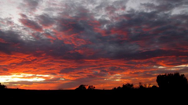 We enjoyed a spectacular sunset from the campground.
 We left the Sleeping Ute in the rearview mirror as we finished our 27 days on the road.
“Safer at Home and the Colorado Great Outdoors 2020”
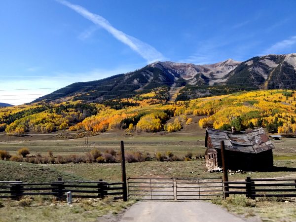 So many aspens! There is Gold in them there hills!
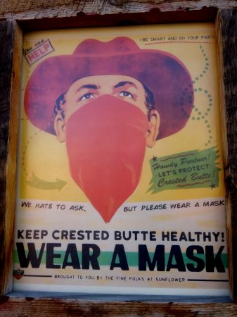 Howdy partner! We donned our masks to enjoy a walk around downtown Crested Butte.
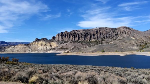 Blue Mesa Reservoir is about 56 feet low due to water use fighting fires in California.
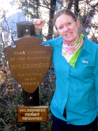 We camped 2 nights at the Black Canyon of the Gunnison National Park.
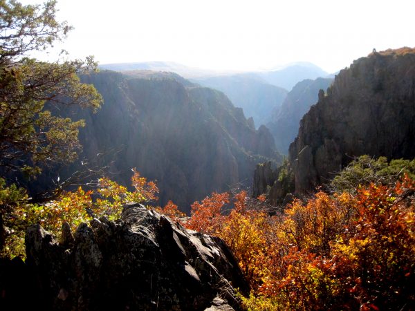 We walked the rim trail with the gamble oaks red dramatically setting off the black rock.
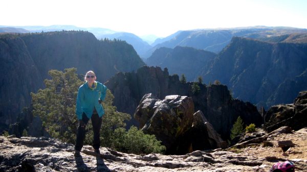
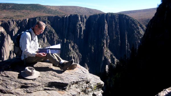 Enjoying the splendor of the canyon.
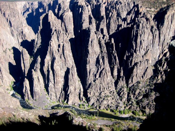 Looking down, down, down at the Gunnison River.
 We were last here in the spring of 2012.