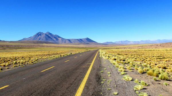
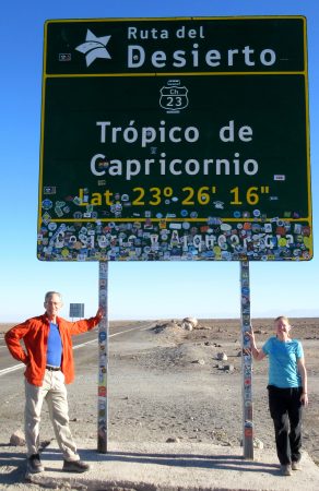
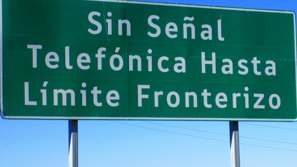
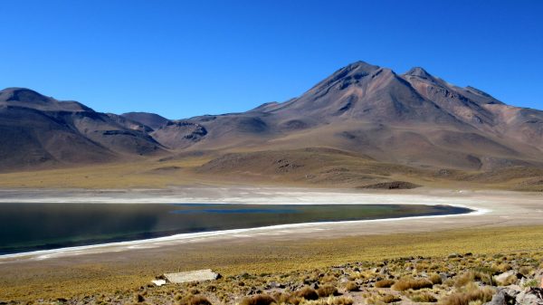
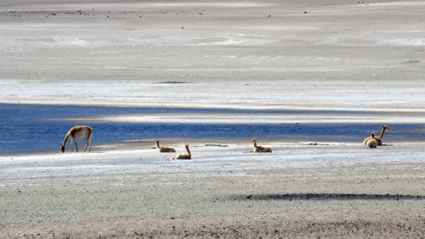
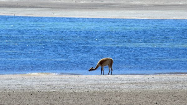
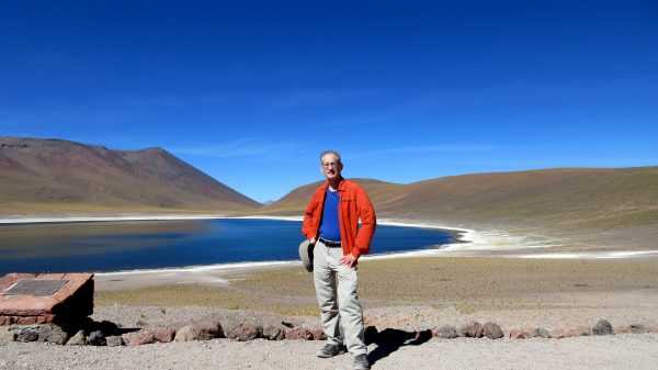
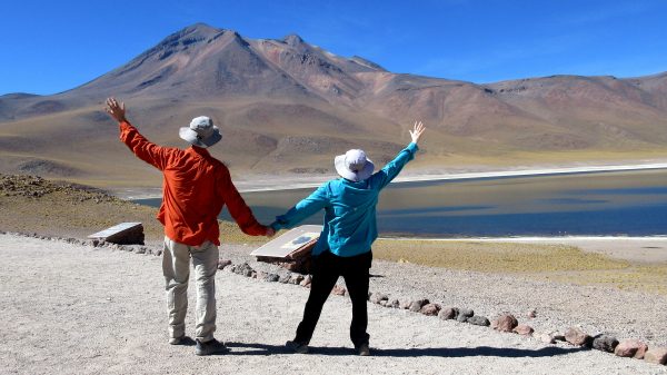
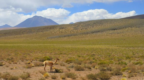
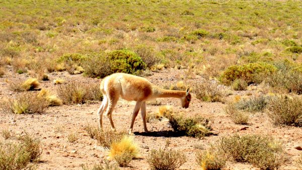
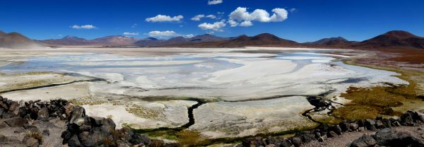
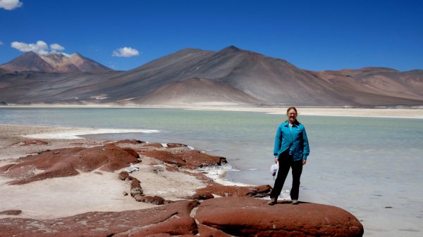
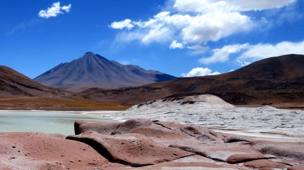
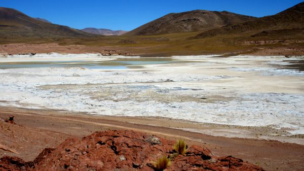
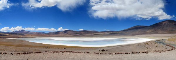
We head up to the high plains of the AltiPlano, south of San Pedro de Atacama whose elevation is 7,900′.We cross the Tropic of Capricorn!!! Latitude 23°26’16” South.We are truly at the Fin de Mundo! No Cell Phone Signal from here on…Officially off the grid…We ambled the car past 13,000 feet to enjoy Laguna Miscanti (surface elevation: 4,140 m, 13,580 ft) and the view of the volcano, Cerro Miniques.Beach loving Vicuñas, sunning themselves!Guess the water is yummy…well there is water here.Next view point is Laguna Miniques, 13,520′ elevation. Notice the intense blue color of the lake – pretty incredible.And there it is: Monte Miniques at 19,390 ft high. Higher than Mt Everest base camp. It is actually several volcano peaks together.Another vicuña enjoying the AltiPlano, in the shadow of Monte Miniques.That grass looks like it might still have some nutrition.A panorama of Salar de Talar, the Aguas Caliente south. A huge salt flat at 13,000 feet and the water is not hot (we asked).It is also known for its red rocks as well as the contrasting colors. A salty white beach.Looking back at our 19,390 foot peak.We enjoyed the colors and the reflections. Fun to walk around and be in the cooler air – although the heat from the sun is pretty intense.The final stop and our turn around point we enjoyed with some birds. Laguna Tuyajto is another salt lake at 13,000 feet that is close to the Argentina border. A very scenic day in the Altiplano.