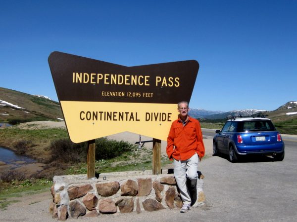
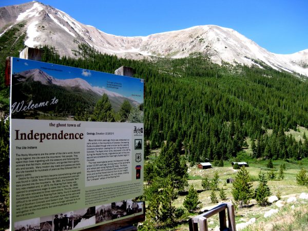
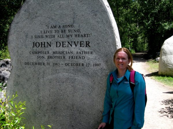
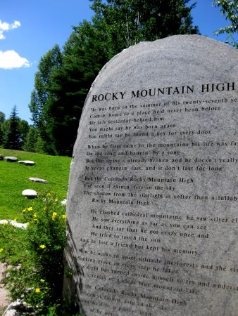
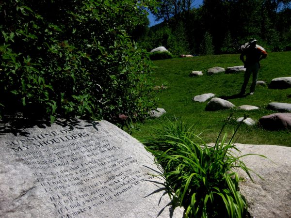
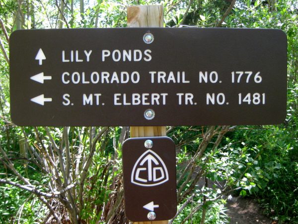
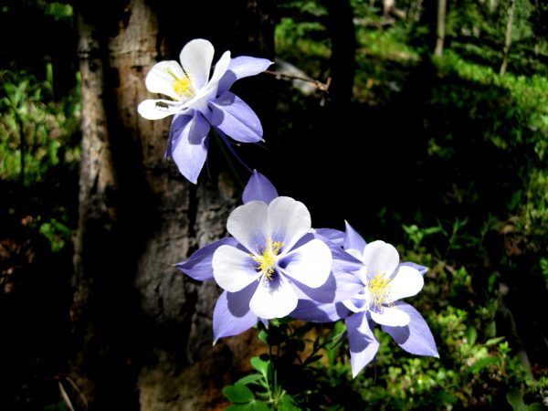
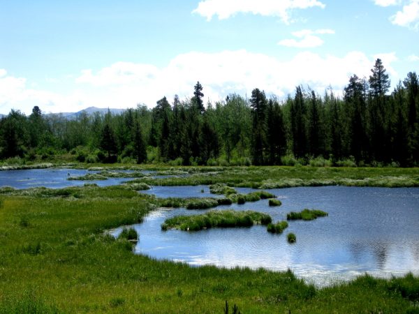
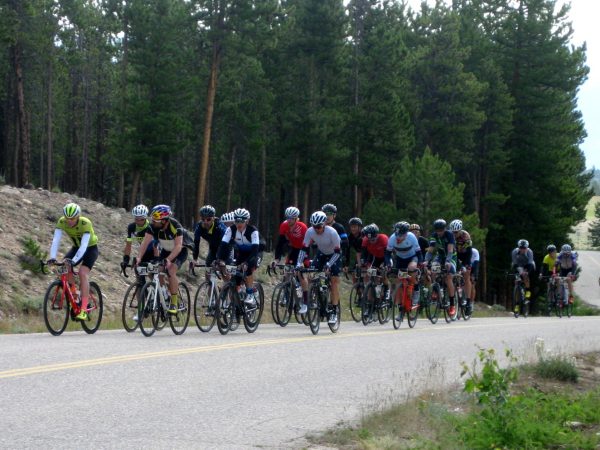
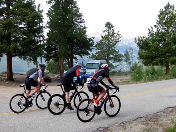
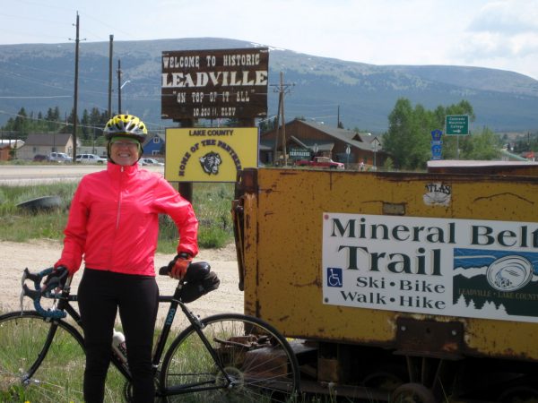
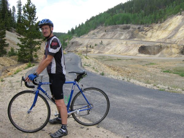
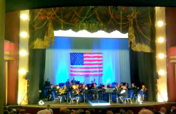
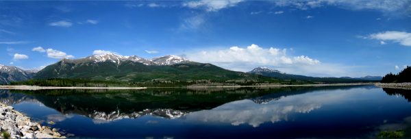
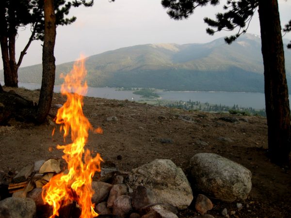
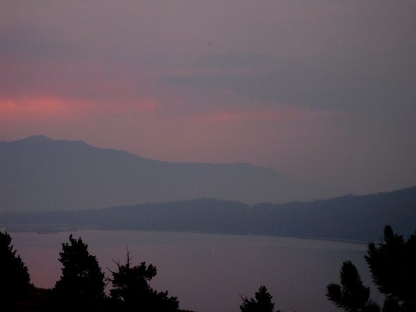
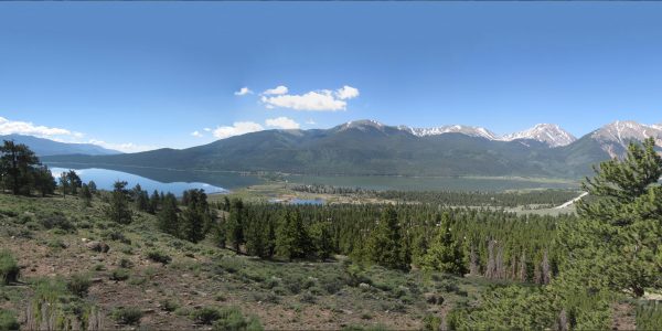
This used to be Hunter Pass before Gold was discovered in them there hills. Leadville was already a boom town and this was the toll road to Aspen.4 July 1879, three years after Colorado became the Centennial State, gold was found here at the base of Independence Mountain.One of the famous people to live in Aspen, the John Denver Memorial Garden along the Roaring Fork river is a pleasant place to visit.Colorado’s second official state song, since 2007 – probably because it seems like the most iconic. It has some pretty nice lyrics.A good hiking song – Sunshine on My Shoulders.Did you know the Colorado Trail is No. 1776 – how All American is that? We were on a hike to the Lily Ponds and some surrounding beaver ponds.Our first wild columbines for the season. “Where The Columbines Grow” is the first official state song of Colorado, but hardly anyone knows the words.These are the beaver ponds – we did not see any lilies.The Haute Route: Mavic Rockies, a European ride’s only US route, rode right by our camp site. How cool is that!!!We had our bikes on the MINI ready to do a shorter ride of our own. This group rode 102 miles from Avon to Snowmass, of which we were about the half way point.Leadville is where many made their money on silver and it was the second largest city after Denver, in the day.This Mineral Belt Trail is a great paved trail looping around the city. We stopped in to tour the Matchless Mine, where “Baby Doe” Tabor held on until her last breath – even tho the mine had not been producing $1,000 a day for quit a while.Horace Tabor spent his earnings and built the Tabor Opera House (and also one in Denver) where we enjoyed the 101st Army Concert Band on their 80th Anniversary Tour. Very patriotic music. Our friends are very involved in the preservation of the Tabor Opera House.On the 4th, we walked around Mt Elbert Forebay Reservoir. Wow – what a beautiful day! The 14er’s are La Plata to the left, Mt Elbert in the center and Mt Massive in the back on the right .We created our own Fire Works and had a pleasant evening after our hamburgers and ice cream bars.There was a lot of smoke in the air, not just from our fire but it gave a very eerie calmness to the night. We thought of rockets red glare giving proof that we are still here! We are sorry tho to hear that there are many wildfires in Colorado this season.
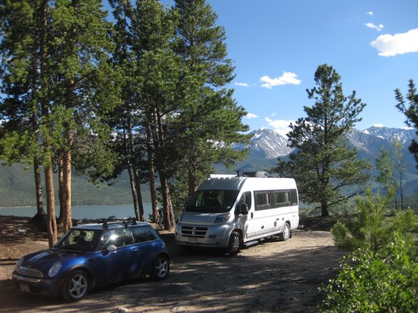
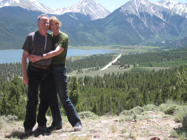
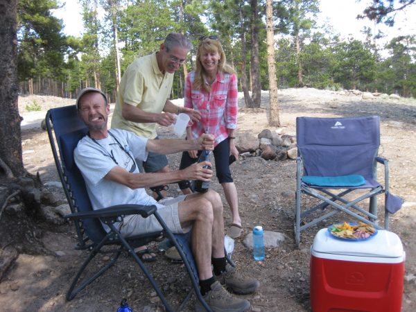
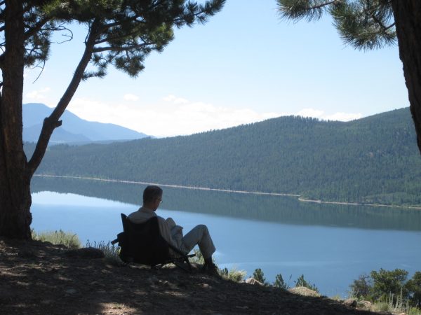
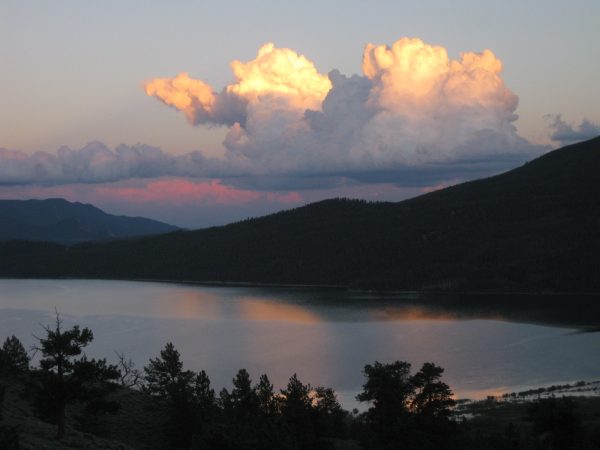
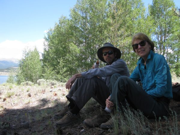
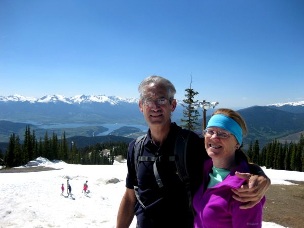
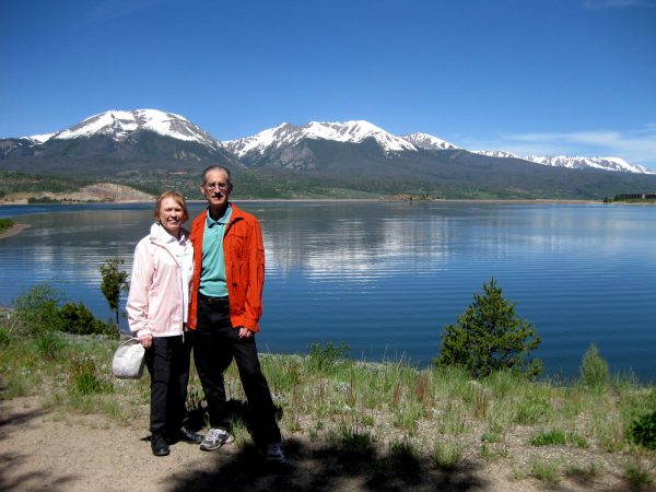
Above the Twin Lakes and above the Lake View Campground we saw this fantastic view. We are among the 14er’s – La Plata, Mt Elbert and Mt Massive!Lucky lucky us as this was an open dispersed campsite! Lets boon-dock here for a while…We entertained our friends for an afternoon of ice cream bars and conversation while soaking up the scenery.We popped the cork to celebrate anniversaries and birthdays and just living the life. See the Western Wagon Blog for our RV friends parallel lives.We had quite moments of reflection and relaxation.We watched the days progress from calm to windy to colorful.
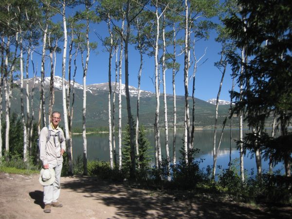
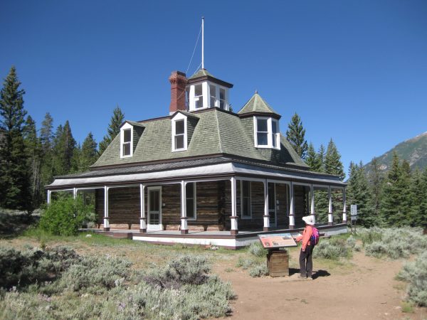
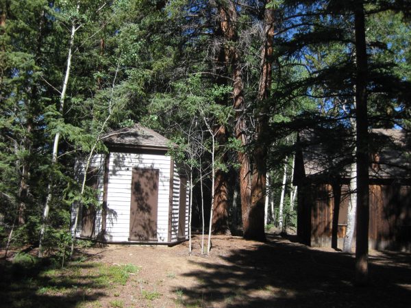
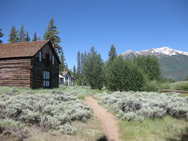
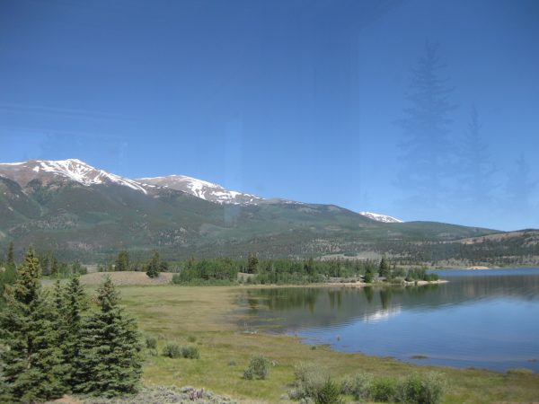
We are ready to hike to Historic Inter-laken Resort directly across the lake from our camp site.Yikes! What an awesomely beautiful day! Enjoying the amazing reflections of La Plata Peak, Mt Elbert and Mt Massive.And the aspen grove along the shore.This is the lodge that was moved 150 feet before the dam enlarged the glacial lake.Dexter’s Cabin was lived in until 1950 and has been partially restored.This is a 6 person privy from 1890 – we did not open a door!We followed the trail to some other buildings in the resort.The log detail of this stable structure was quite interesting – some very tall trees were felled for this structure.Back on the trail, we will head to that grassy knoll for lunch.Nice to share this spot with our full time RV friends, who came over from their camp near Aspen for the day.We relaxed and looked back on our camp site on the hill across the lake.
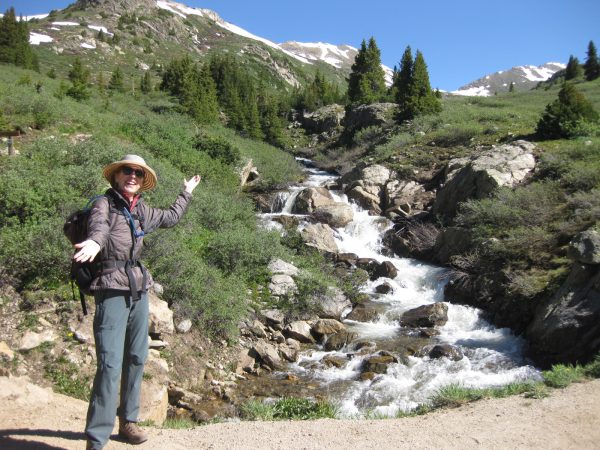
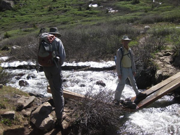
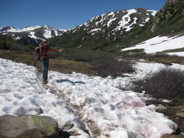
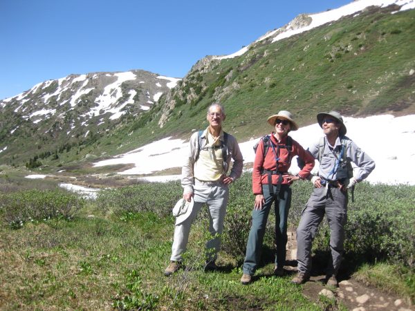
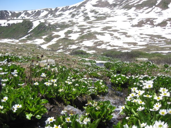
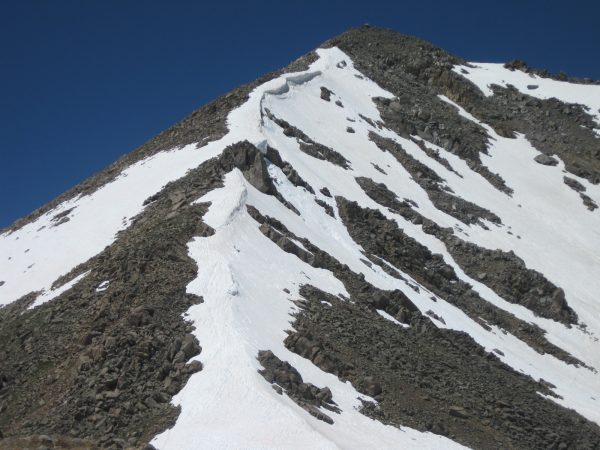
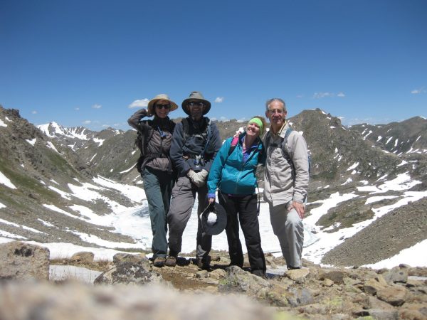
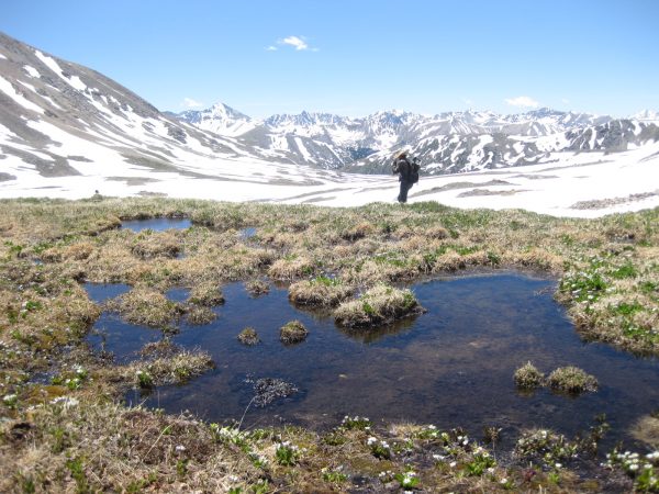
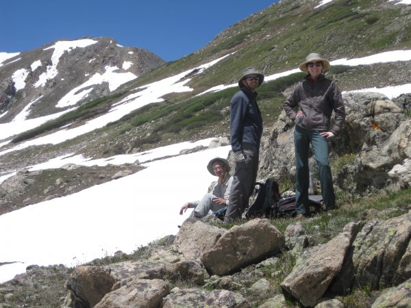
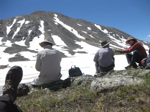
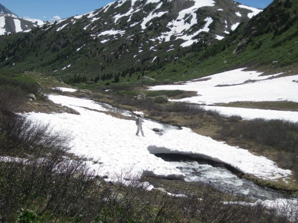
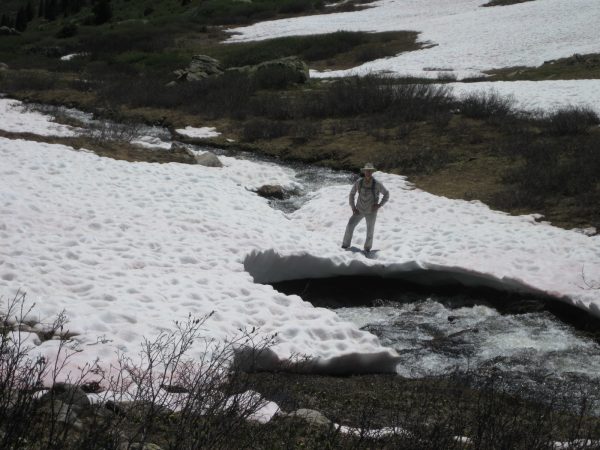
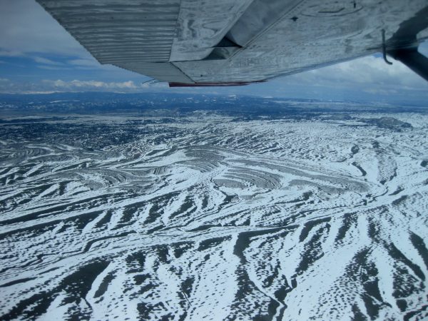
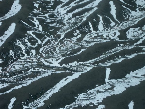
And this is the Roaring Fork River – the start of our hike off Independence Pass at 12,095′.This is the funkiest bridge crossing but our feet stayed dry. See the Western Wagon Blog for each of our distinct bridge crossing styles!STOP! Hold that pose. Dancing across the snow fields.Well, will you just look at all that beauty.Ephemeral streams with lots of wildflowers taking advantage of the moisture.This reminded me of the patterns seen from our plane ride over Ft Collins.Summit of panoramic Lost Man Pass (12,815-ft.) – we decided not to descend to the lake but turned around.As it was so beautiful hiking up we still had plenty to enjoy.Maybe we should sit awhile and soak up the ambience with some sunshine.Enjoying Independence Lake.Will that snow bridge over the stream hold the weight this man?Yes it will – how fun is that!Parting friends, our last shot of the Roaring Fork before relaxing at Difficult Campground, and a baked chicken dinner among the aspens. Another link to Western Wagon Blog
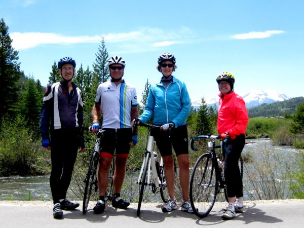
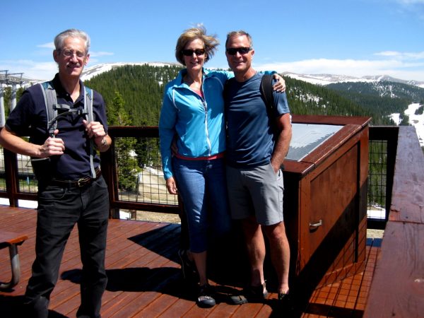
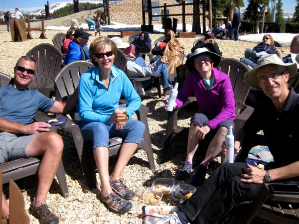
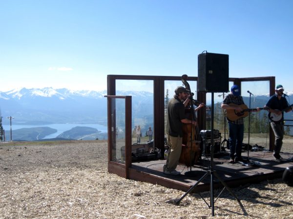
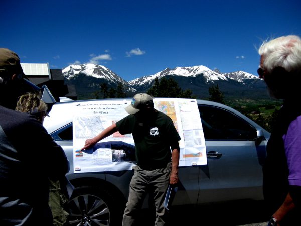
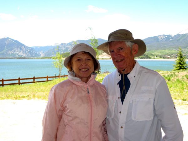
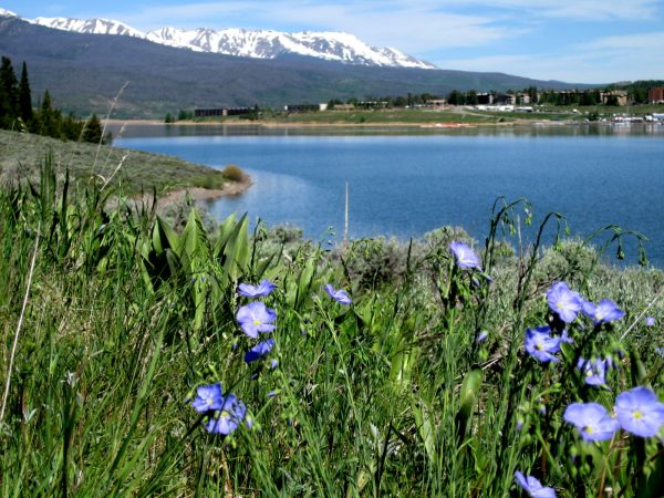
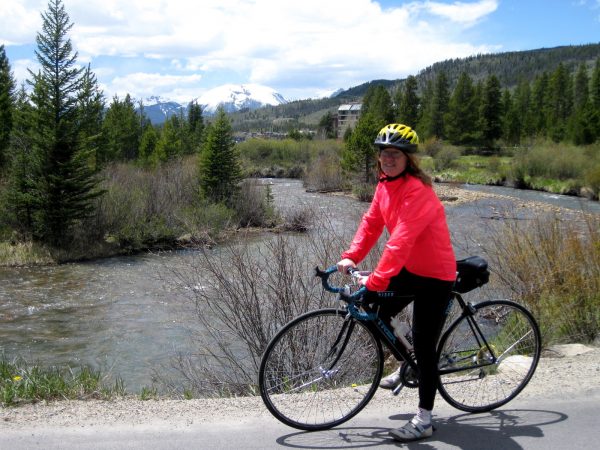
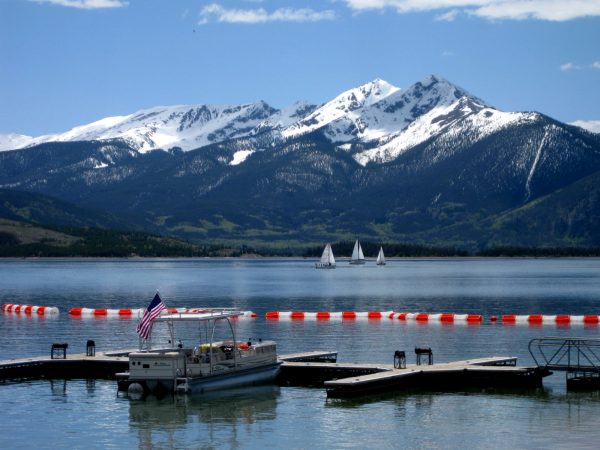
Our friends from Littleton joined us for some cycling.We rode the gondola to the top of Keystone and reminisced about our times skiing there.It looks like we are ready for some Spring skiing! Beautiful view of Lake Dillon.It is Happy Hour and what a life!This was our view as the Local Folks played for us.A few days later we went on a Geology Car Tour of the region by Friends of Dillon Ranger District and learned about how this region of the Rocky Mountains was under the inland ocean and then uplifted.Our next visitors were my parents – we had a picnic lunch by the lake and then later a poolside BBQ.The next morning we walked the Dillon Natural Area which is a nice graded dirt road with no bikes. and enormous views. Flax in bloom.Nice reflections!These Wild Animals are thinking about our Benjamin and wishing him a Get Well Soon with Lots of Love, Hugs and Smiles!
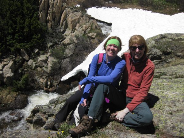
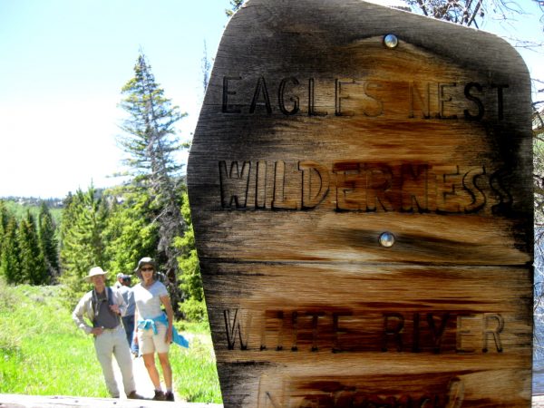
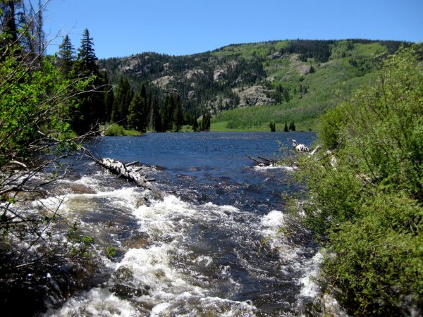
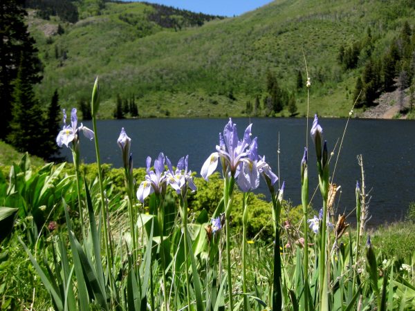
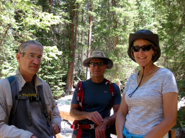
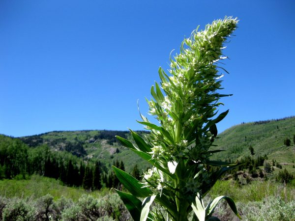
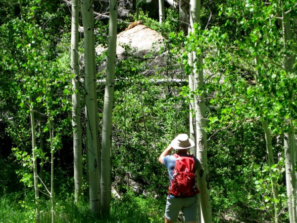
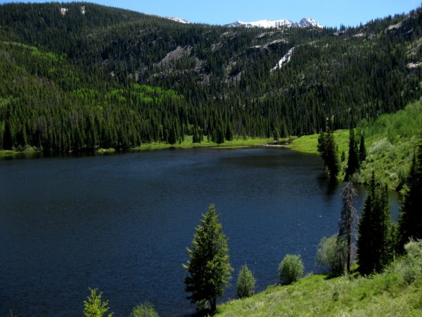
Beautiful day for a hike in Eagles Nest Wilderness in the White River National Forest.The water is very high this Spring – this is a beautiful little mountain lake we are going to walk around.Flag Iris in bloom!Taking a break in the shade!I am not sure if this is a type of Mullen but it reminded me of a Yucca stalk in bloom.Double checking our route and where we are going – or maybe where we have been!Could you ask for a better day than this?!!!Taking a picture of a Marmot sunning himself on the top of this boulder. Good eyes to spot that guy!White blooms frame the lake from the far end.That is the large Cataract Falls coming down from the snow covered peak. Unfortunately this trail does not go close to the falls or offer a better view. But you can hear it on much of the trail.
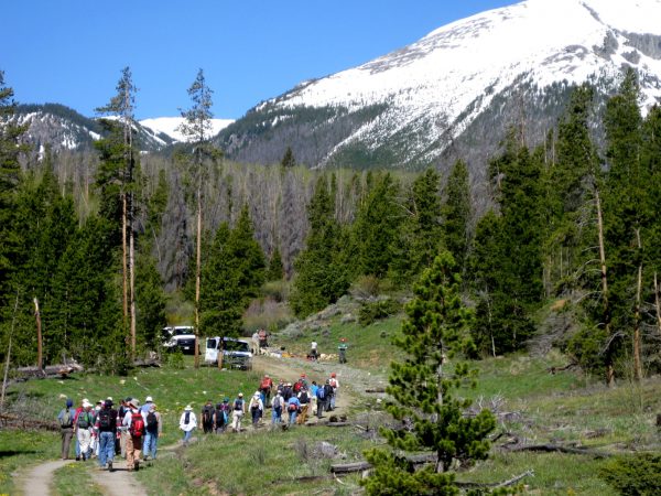
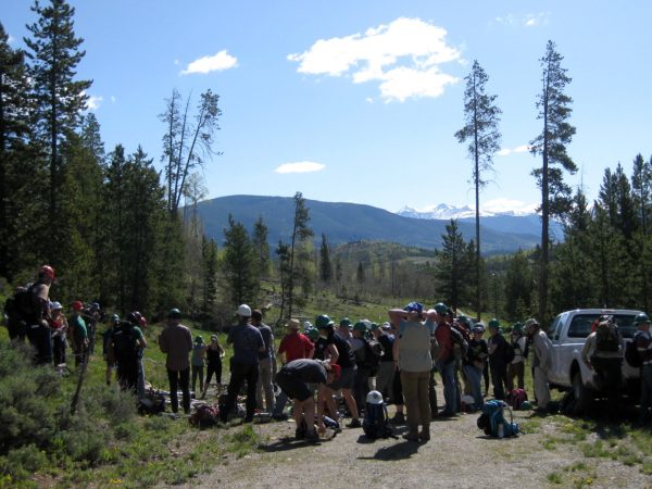
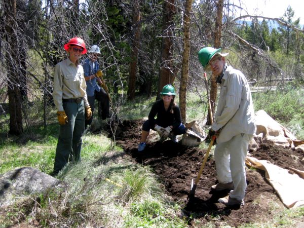
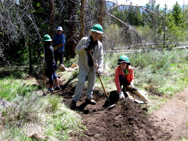
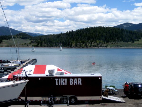
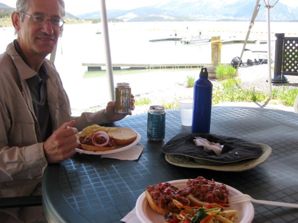
Taking a break from the Travato, we are staying at a condo with a pleasant view and all the amenities.On the bike again! It is a 15-mile round trip ride to Lake Dillon Dam along the Snake River.A fabulous destination to take a break and enjoy the view.National Trail’s Day 2017 – we volunteered for the White River Forest Service along with about 50 others.We were separated into teams and given a few safety tips.Our team leader and our crew of 4 dug this trench to run water off the trail.The trench is getting deep enough and we are creating a dam along the path to divert the water – we had to dig deeper for mineral soil, not organic top soil as that erodes too fast and turns to mud.After the work, we met up with Friends of the Dillon Ranger District at the Tiki Bar on Lake Dillon.To enjoy this fabulous lunch, thanks to Pug Ryans!
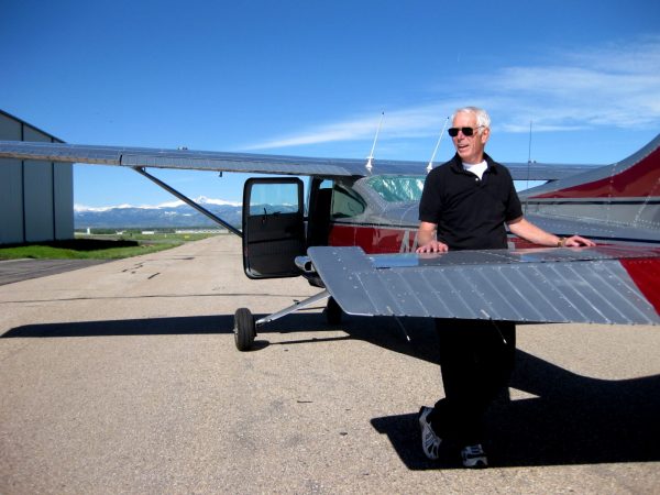
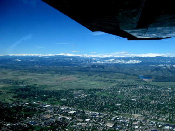
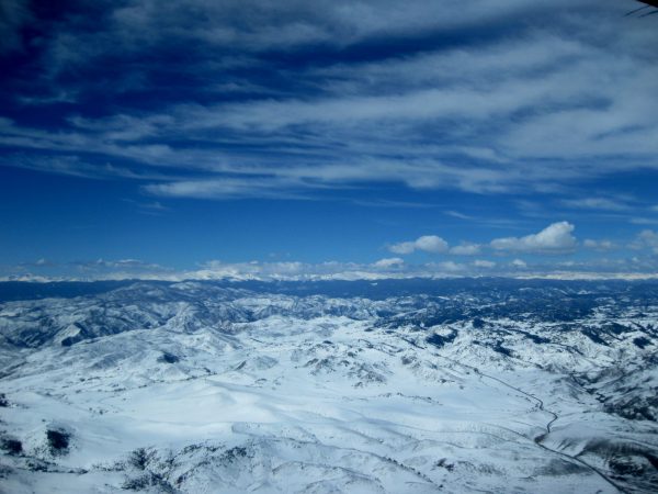
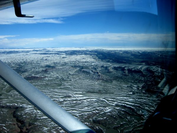
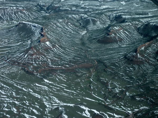
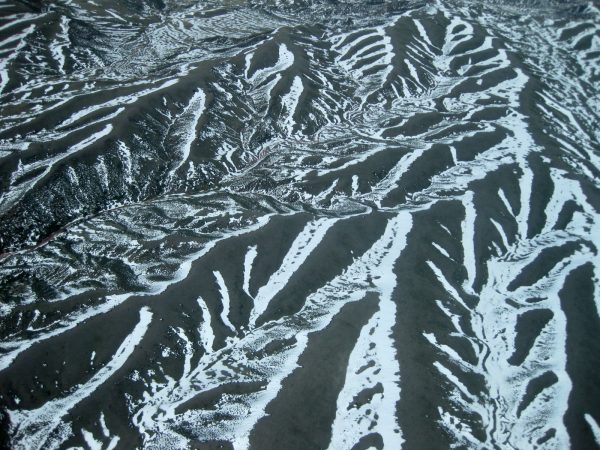
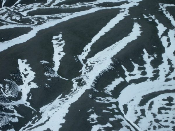
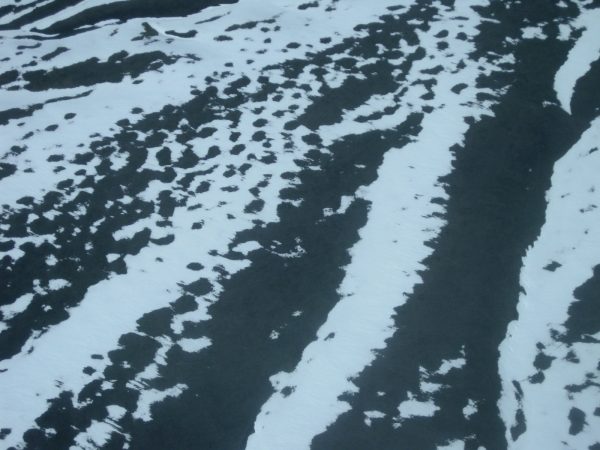
Meet our pilot. These are our friends that got us the work/camp for the National Forest in Sabino Canyon. We visited them in Ft Collins and decided to take to the air. What a treat!Longs Peak overlooking the valley.It is getting smaller and more of the city is visible. Also a touch of Horsetooth Reservoir.A lot of snow last week as we head towards Curt Gowdy State Park, Wyoming.Isn’t it beautiful?!Going over Red Mountain area – looking like a Topo map with the snow outlining the contours.But you can see the red below the snow and the Cache la Poudre River in the valley.Well these are just plain fun images of the snow patterns.Of about 50 photos, these are the best.I am not quite sure what I am looking at!But very interesting patterns. A very pleasant ride over the terrain.