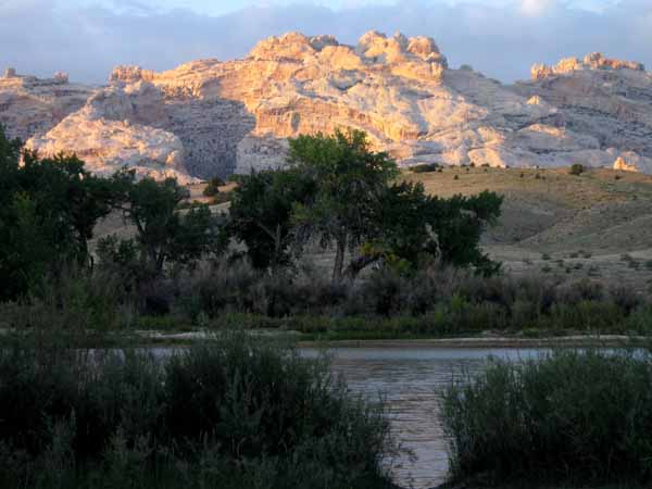
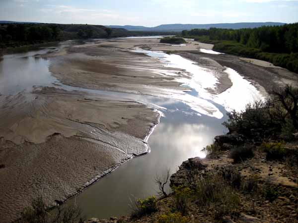
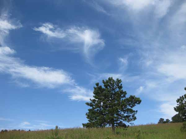
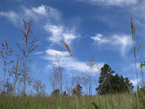
Green River Campground – sunset while listening to a ranger talk on NPS. They had slept in 51 parks…while stargazing that evening by the river in campsite #77, we figured we had slept in 39 national park sites. The stars and Milky Way were incredible and it was warm enough evening to enjoy lingering and appreciating the Enormity-of-it-All.After picnicking at Echo Park overlook, we hiked to Harpers Corner Overlook spectacular viewpoint. Not the distance of our Green River to Desert Voices to Sound of Silence hike yesterday, but very enjoyable. This overlooks the confluence of the Green and Yampa rivers.Camping by the Yampa river, we had this spectacular sunset. Stargazing again was wonderful. We felt refreshed from splashing around in the river before dinner.An early morning hike on the Yampa. What a sight!We spent a couple nights near Steamboat Springs and hiked Rabbit Ears Pass, where this photo was taken.
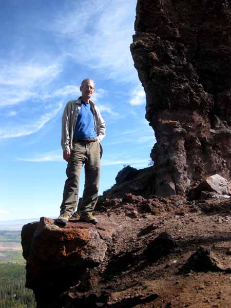
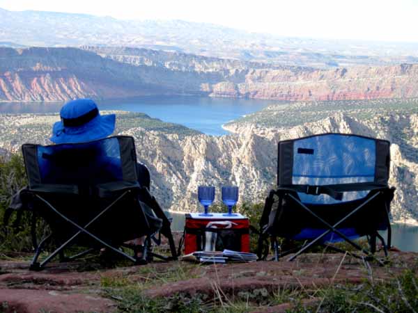
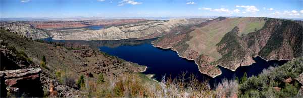
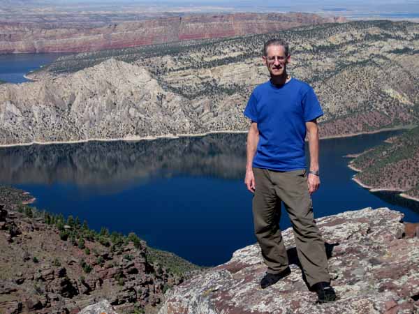
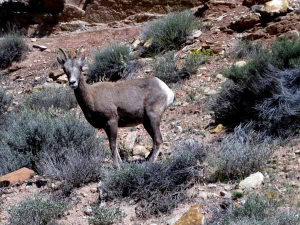
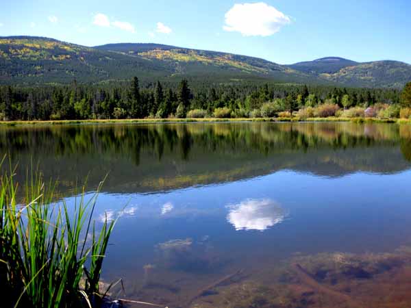
Dowd Mt Overlook and Picnic area was the perfect spot. We absorbed the view during wine o’clock, fixing dinner and lingering until the stars came out. We set up a dispersed camp a 1/4-mile or so away.The panorama on a clear wind free day.Great color and reflections!We saw sheep in Sheep Creek Canyon area and asked this one to pose for us.We strolled around this pond on the way to the Flaming Gorge Dam. Fall colors dotting the hillsides and peaceful reflections.
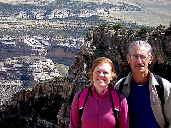
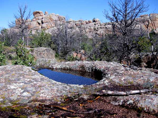
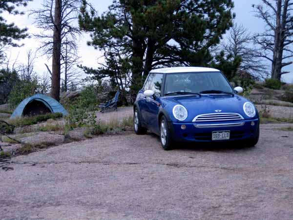
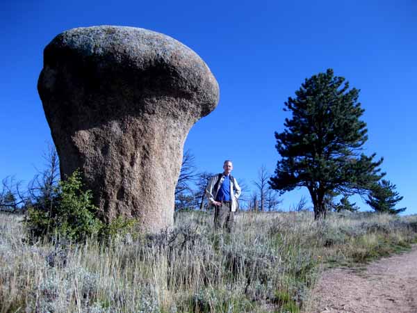
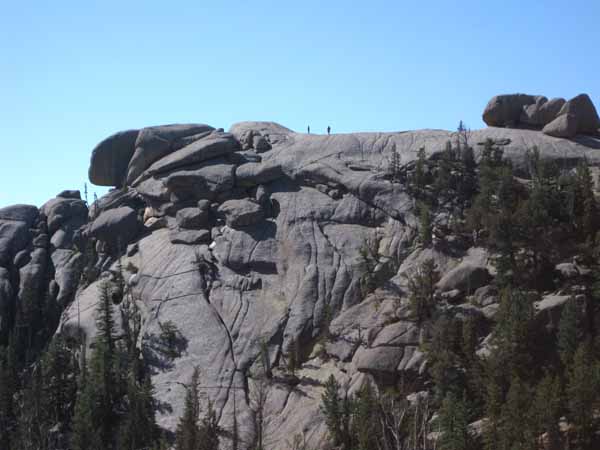
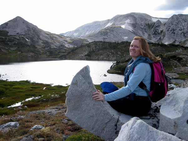
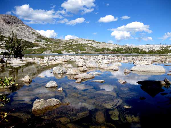
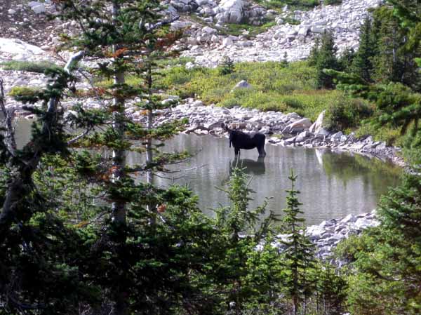
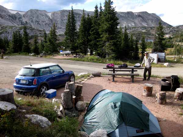
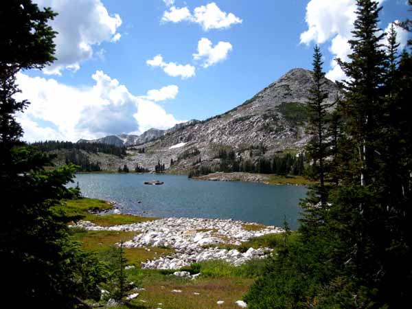
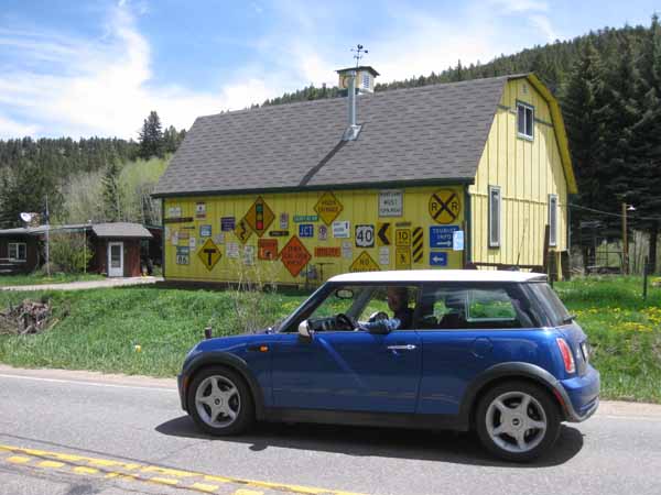
South of Laramie and near the highest point of I-80, we spent a few nights exploring this area around Vedavoo.We motored the MINI right onto the rocks for a this dispersed camp site with some great views.Some very interesting rock formations.We hiked up the canyon and saw these other climbers on the far side to give us a sense of scale.Further west in the Medicine Bow National Forest, we hiked to Lost Lake.Lost Lake is gorgeous!And we saw this moose in both directions.Back to the campsite at Sugarloaf to enjoy the sunset and wine o’clock. Amazing stars with an almost full moon coming out before we crawled into the tent.Libby or Lewis Lake – great spot for morning coffee!
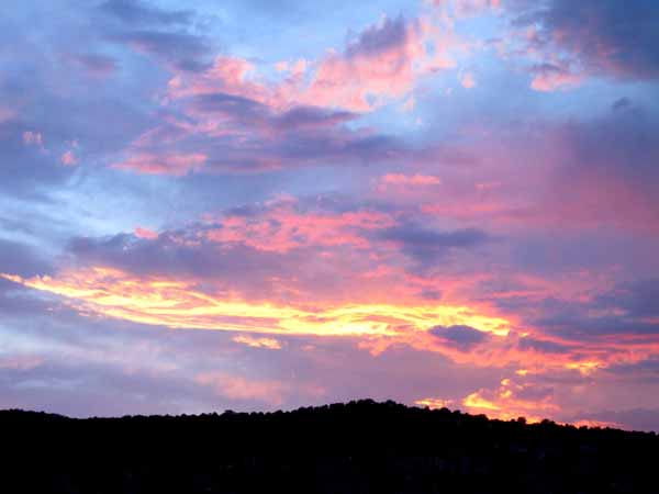
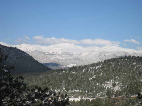
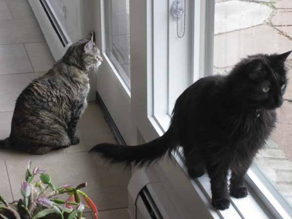
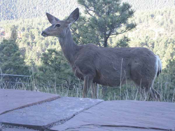
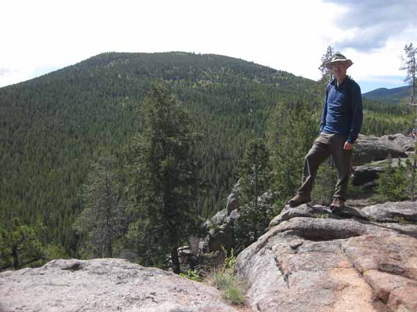
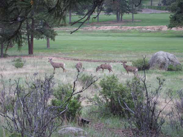
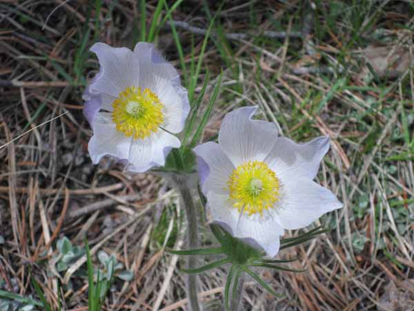
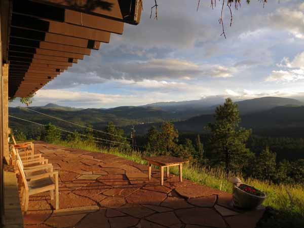
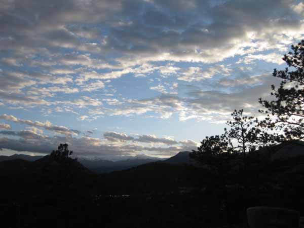
So we motored the MINI up to Evergreen in May to house-sit for some friends…They thought we would enjoy their view of Mt Evans…They wanted their felines Polly n Vlad to have some company…We enjoyed the wildlife that wandered by in the morningSome great hikes with more good views.Lots of deer. we also saw elk, a couple foxes along with lots of chipmunks and squirrels.Wildflowers blooming like these lovely pasque flowers.The weather got warm enough to enjoy the patio and sunset view.A couple interesting storms and sunsets made it a very pleasant stay. Thanks for the opportunity.
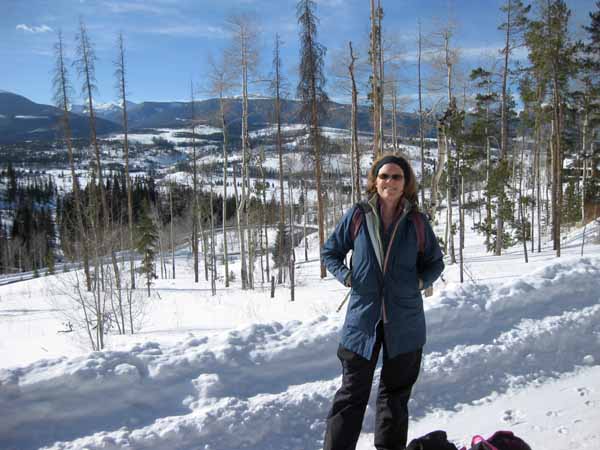
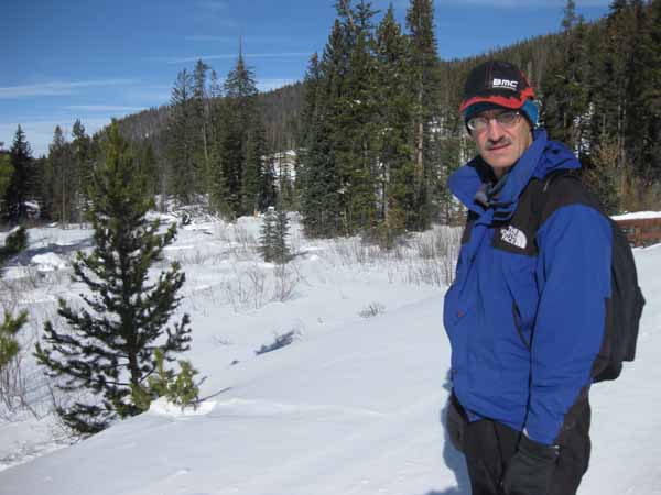
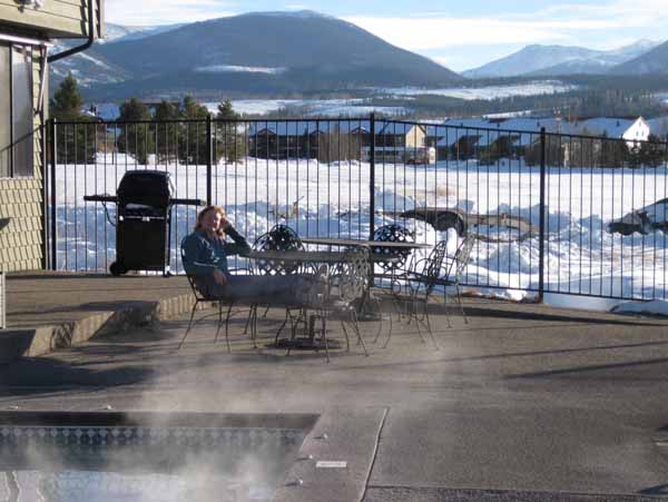
Snowshoeing in Winter Park area. Over the hills and through Peaceful, Quiet forests with fresh fallen snow along the Frasier River.Another hike from The Red Gate in the old Idlewilde Ski area with views of Rocky Mountain National Park.We loved the sunshine and the hot tub reward afterwards.Perfection.
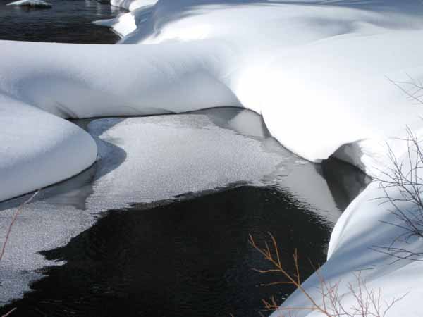
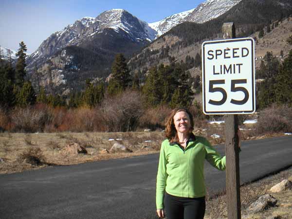
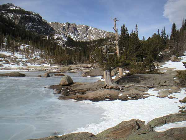
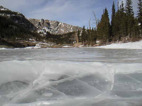
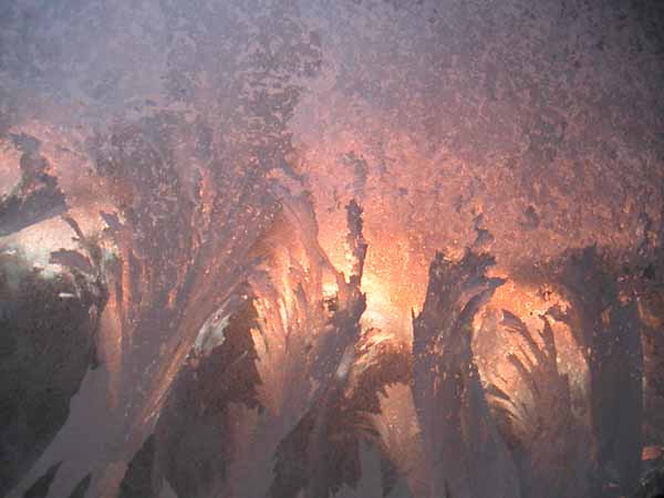
Not enough snow for snowshoeing but we enjoyed winter hiking in this beautiful park.Hiking up to Mills LakeAmazing ice formations on the lake.Vance Kirkland-esque ice formations at dawn on our round window at home.
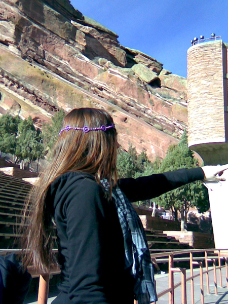
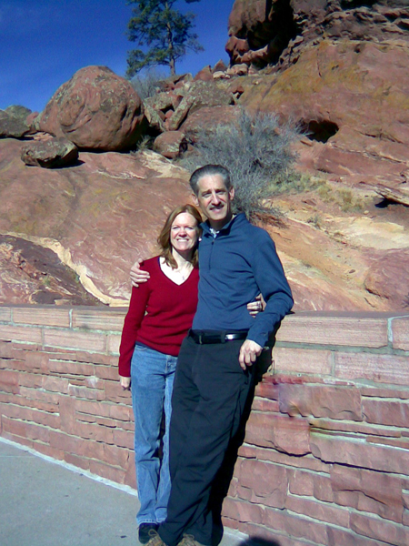
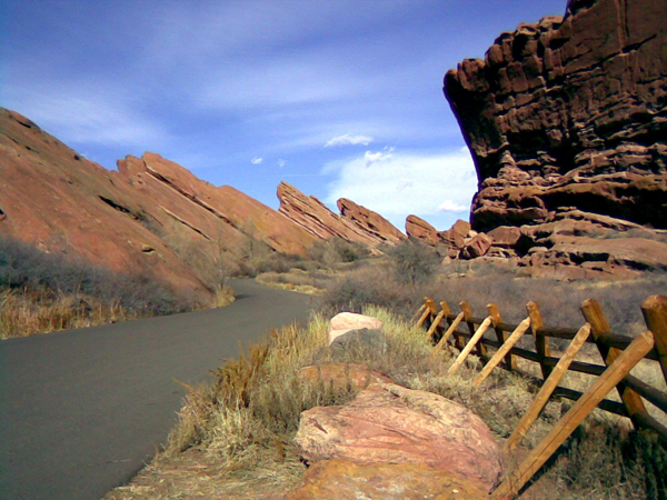
The youngest nephew and his girl came to visit. Great weather for early December.Remembering our concerts we had seen there: Peace Love and the 60’s, 70’s and 80’s.It has been a healthy year for us. We both got into cycling again did many 27 mile workouts to Cherry Creek State Park.Such gorgeous Colorado scenery!