“Safer at Home and the Colorado Great Outdoors 2020”
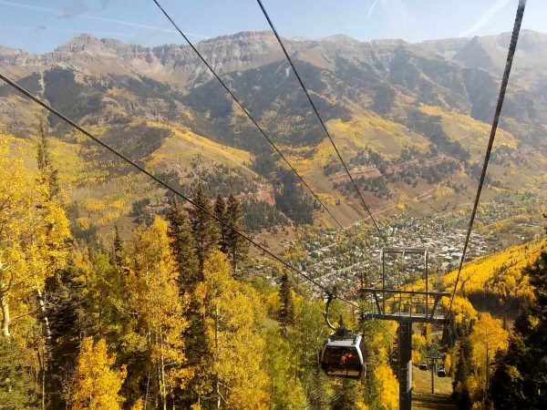 Always a free gondola from center of town up the mountain – spectacular!
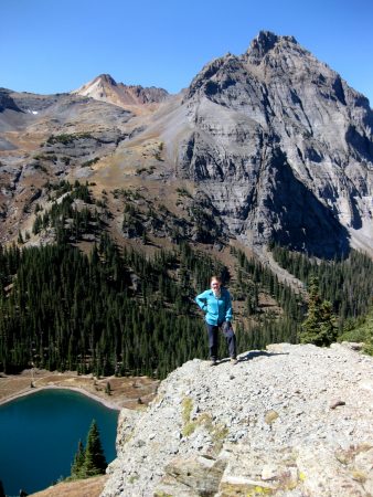
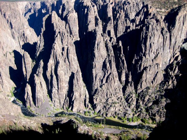
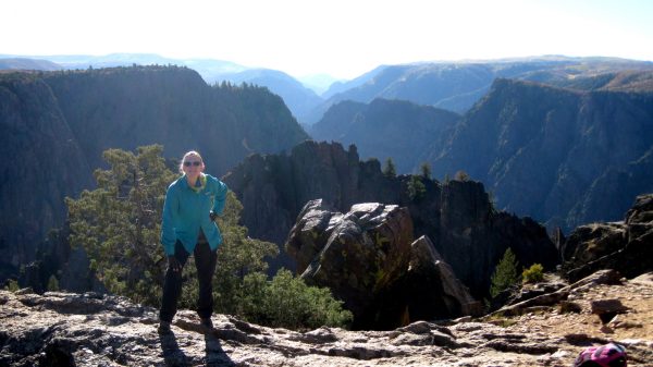
 Such a view without the hike! We loved doing something so different.
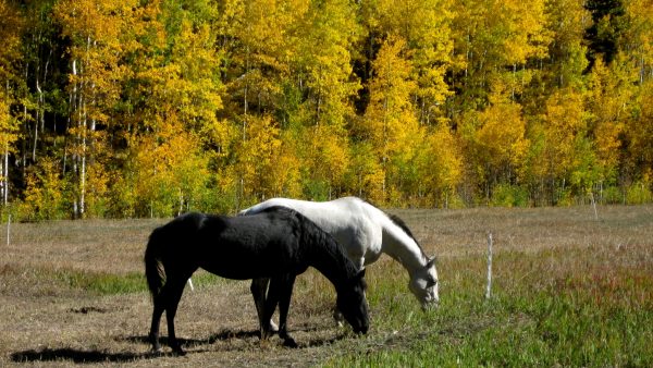
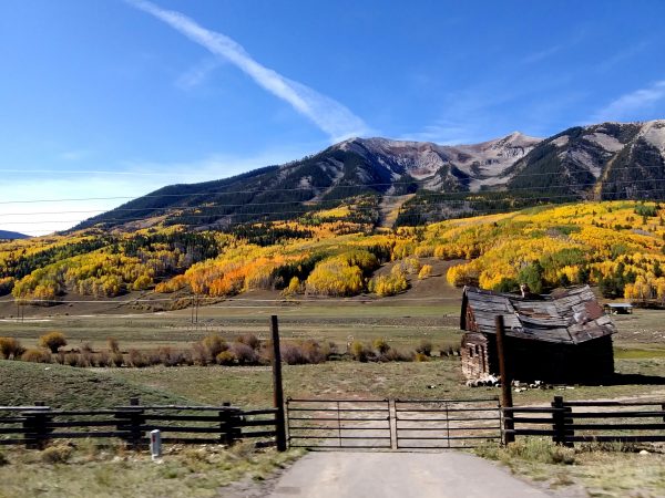
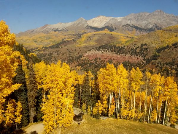 We had never seen so many aspens – let alone all golden together.
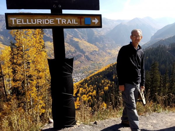
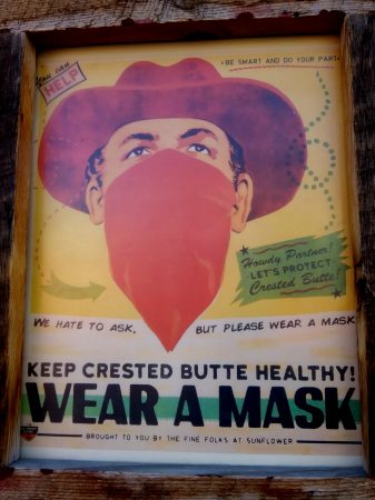
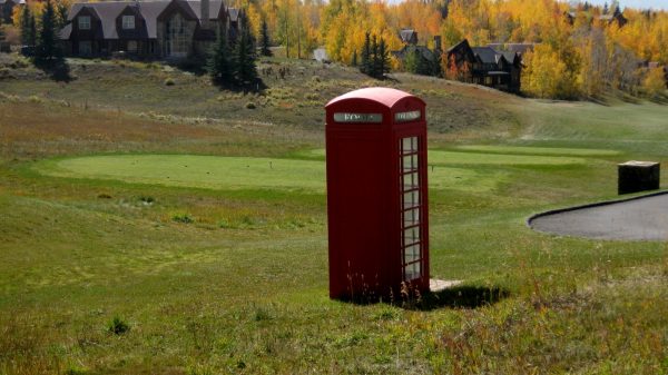 A bit of whimsy – it sure didn’t feel like jolly ole’ England.
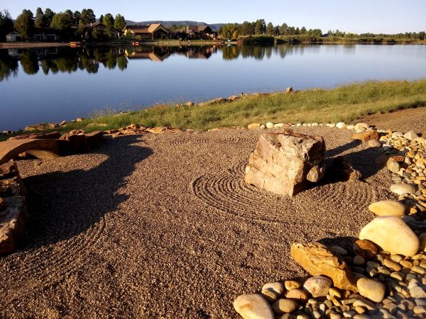
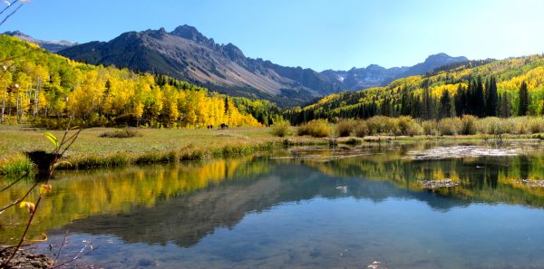
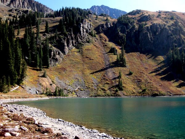
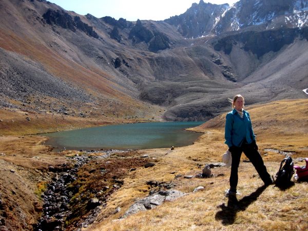
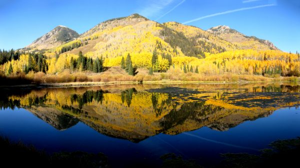 Priest Lake and the splendid reflection.
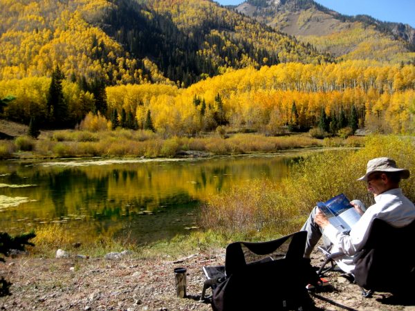 Guess we better camp here and really appreciate the view!!!!
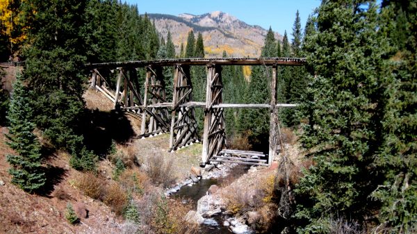 We day hike to nearby Trout Lake Trestle Bridge on the historic Rio Grande Southern Railroad route.
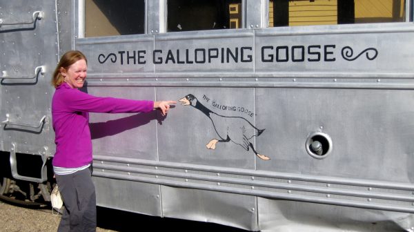 This was on the Galloping Goose Trail in recognition of these rail cars.
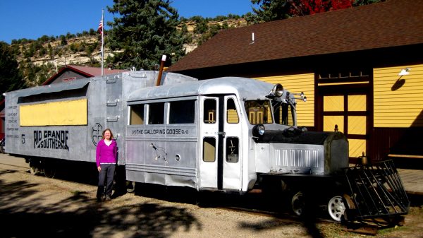 This is in Dolores by their train depot. It ran from Durango to Ridgeway.
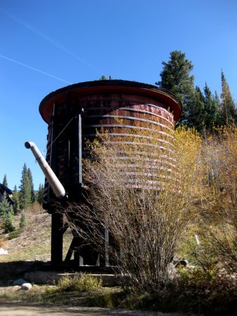 Nearby is a water tower to replenish rail cars for steam locomotion.
 We camped a few more nights at the top of Lizard Head Pass to appreciate the wilderness.
 We hiked to the headwaters of the Dolores River, which joins the Gunnison, which joins the Colorado before heading to the Sea of Cotez.
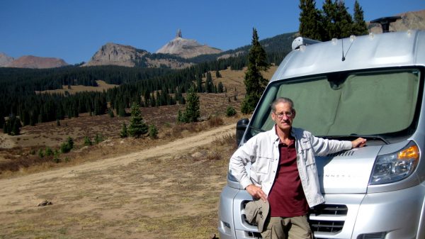
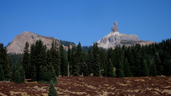 One last fill of the unique Lizard Head mountain and cool fall air.
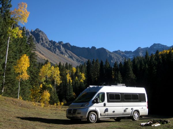
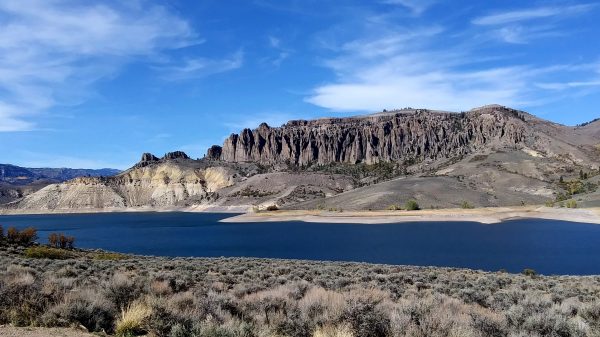
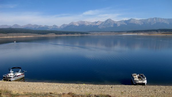 Look at all those fourteeners! What a view.
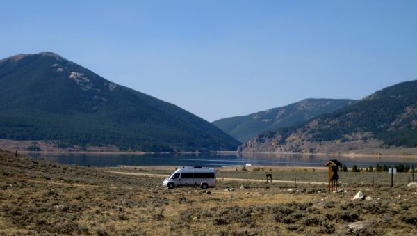 A dispersed site off FS755 with a nice view of the reservoir and…
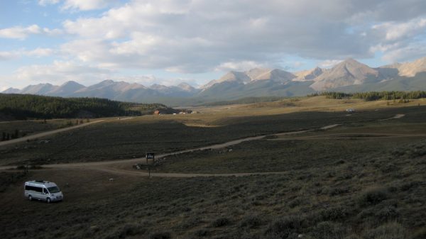 …A great view of the Collegiate Peaks – the other side is Buena Vista.
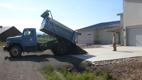
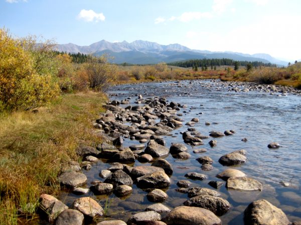 We hiked the road along Texas Creek enjoying the majestic mountains.
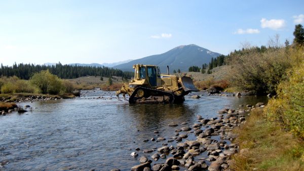 The bulldozer is maintaining the road and closing off illegal campsites.
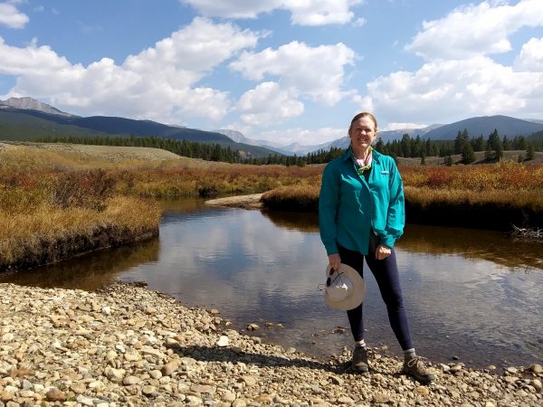 A nice spot to hang out for lunch and while away a hour or so.
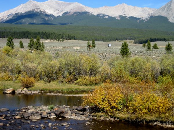 Another lunch spot and a few nights of camping in Taylor Park.
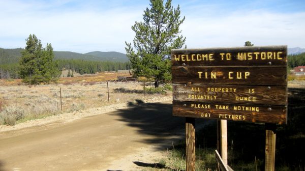 A day trip to this nearby mountain town.
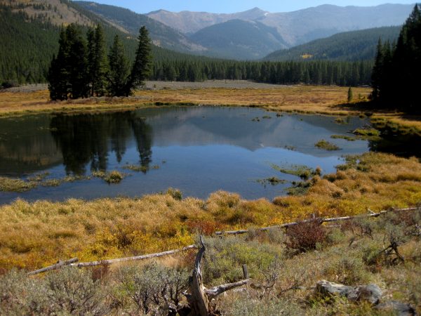 A good wander around and a visit to the scenic historic cemetery.
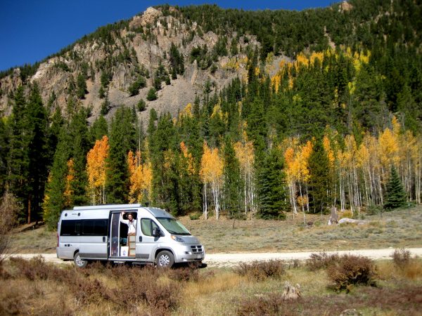 We pulled up for a hike and stayed the night in this quiet spot.
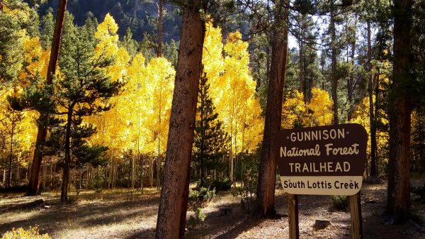 A very nice bunch of aspens greeted the beginning of our hike.
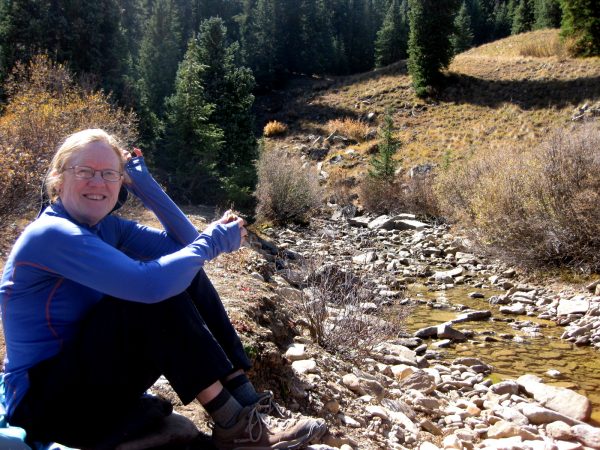
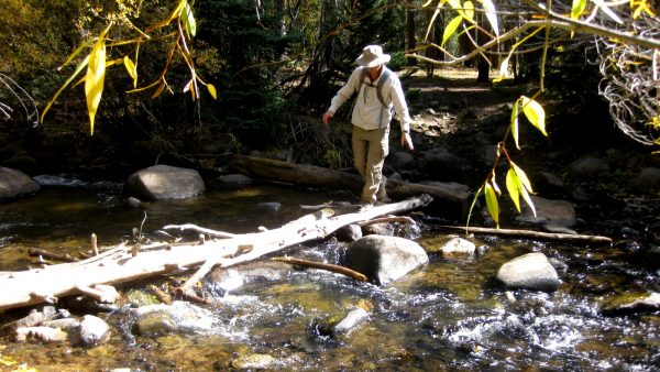 Several stream crossings took careful attention…
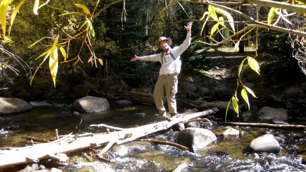 …Or an opportunity to goof around.
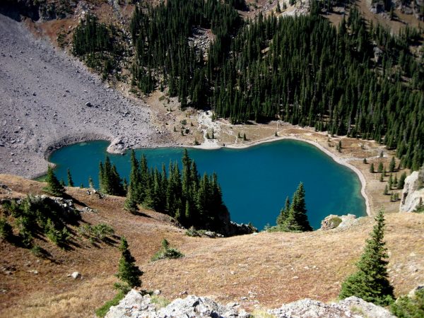
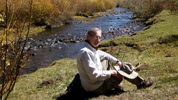 But a peaceful destination to hang out was our reward.
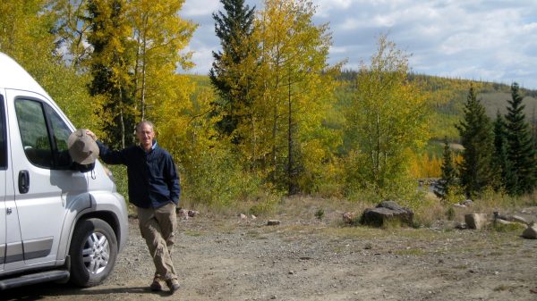 We turned off Slumgullion Pass to Deer Lakes on the Cannibal Plateau in the Gunnison National Forest-
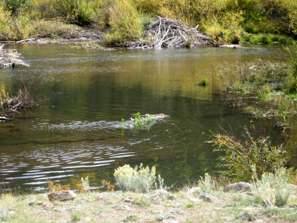 We found a great spot to camp next to this beaver pond – we watched several move branches across the pond and then disappear underwater.
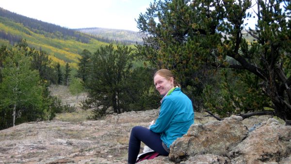 A hike into the Powderhorn wilderness above our camp.
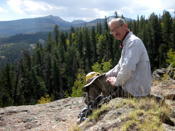 A peaceful way to enjoy a day. It is wonderful to be off the grid.
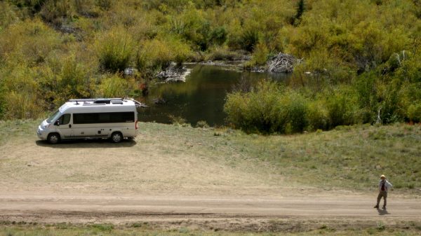 Heading back to our favorite campsite to watch the beaver family preparing for winter.
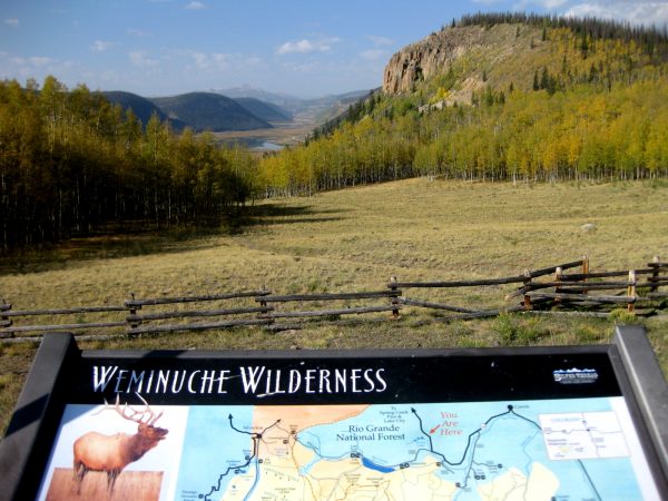 Still in the Rio Grande National Forest, we head up another valley.
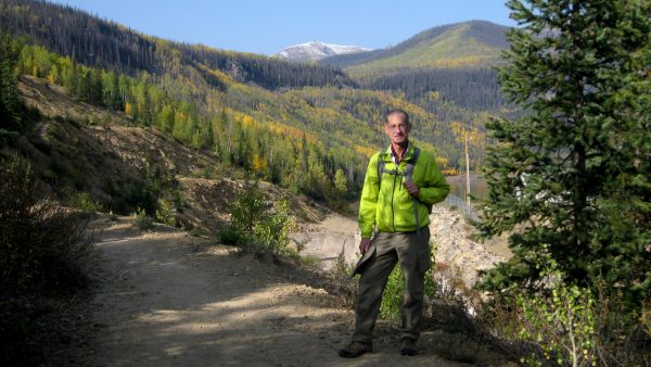 We start above our camp at Thirty Mile Campground for our hike.
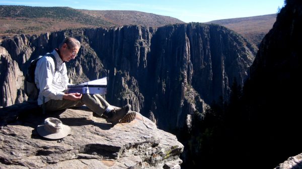
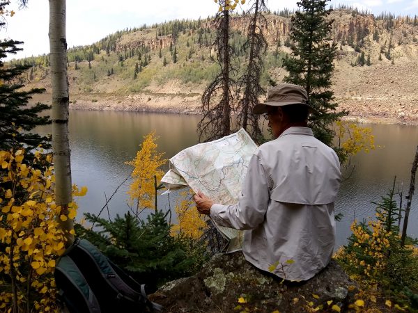 Checking the map while overlooking Rio Grande Reservoir.
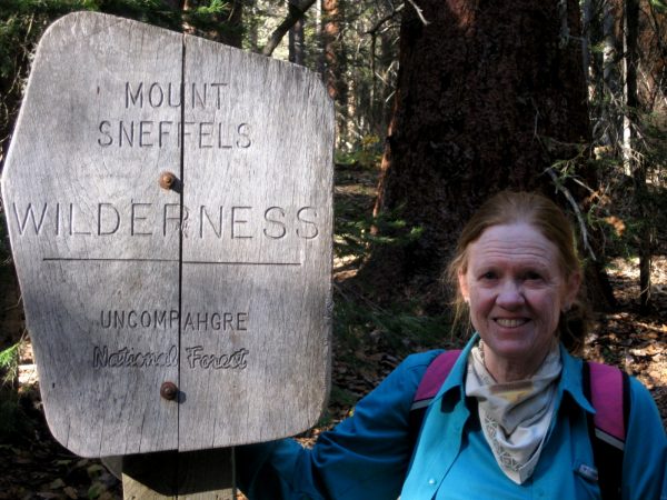
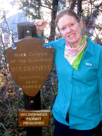
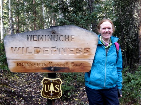 Entering Weminuche Wilderness, the largest protected area in Colorado.
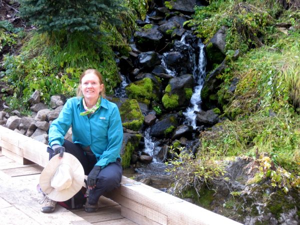 A bridge sturdy enough for horses crosses the start of the Rio Grande River.
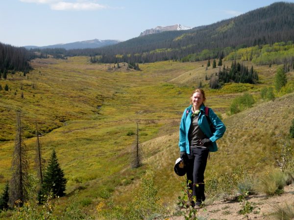 Weminuche Pass is a relatively low crossing of the Continental Divide.
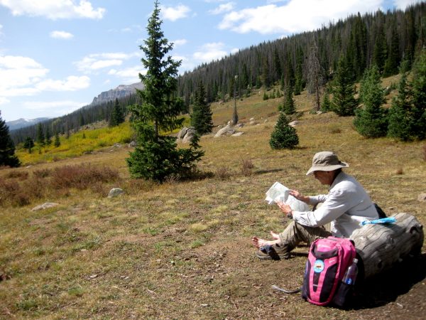 Finding the names for all the mountains while we take a break.
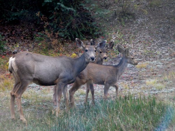 Enjoying the deer back at our camp site while we listened to the river.
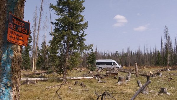 Mid- September, we headed to Rio Grande National Forest, an area of Colorado south of Creede we had not explored.
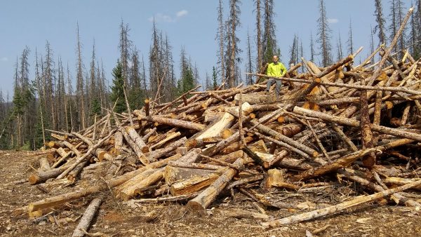 Huge piles of beetle kill limber pines that had been cut for fire mitigation.
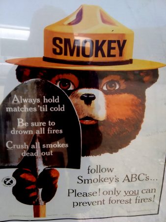 Stage One Fire Restrictions: No burning!
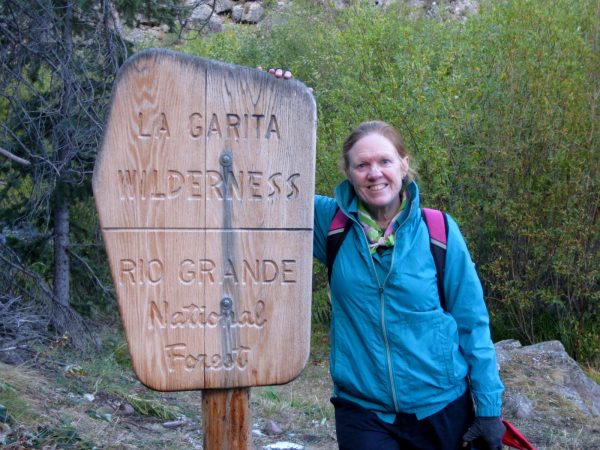 Sun has not yet reached the valley as we head into La Garita Wilderness.
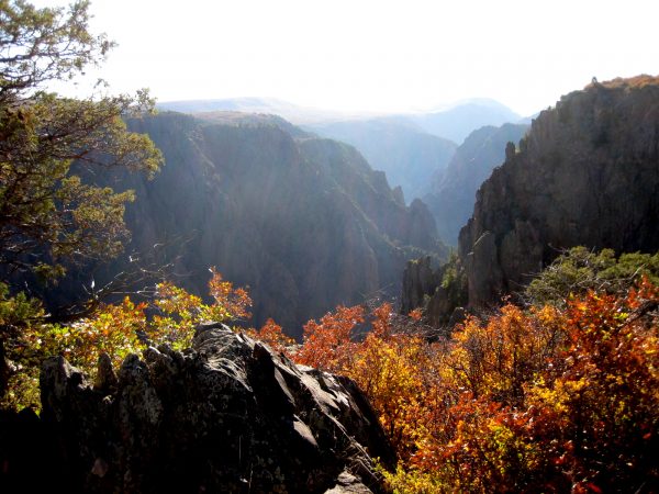
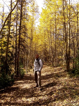 It is starting to feel like fall in this gorgeous section of the trail.
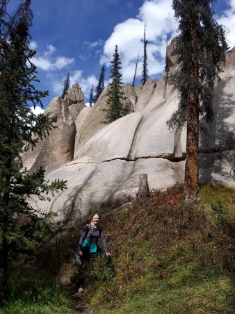 Wheeler Geologic Area used to be a National Monument.
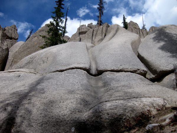 Remote and Unique, it was a fun area to explore.