Great Sand Dunes NP of Colorado

July 2011 we headed to The Great Dunes to meet up with some friends from Albuquerque… only a small turnout of the four of us but was still good fun. Snagged a pleasant camp site at Great Sand Dunes Oasis. It was a dry year for the stream so we opted to do this hike outside the park.  Beautiful day for being outdoors.

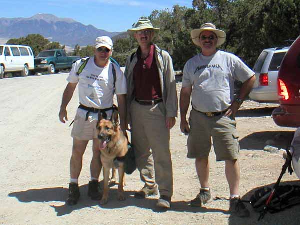
The Architects are Ready to Hike

So these architects all met in Grad School at CU Denver a few years back and have worked in some of the same firms with some of the same people so was a ” Do you remember…?” type of weekend.  Best friend German Shepard – his first time on the trail carrying his own water.

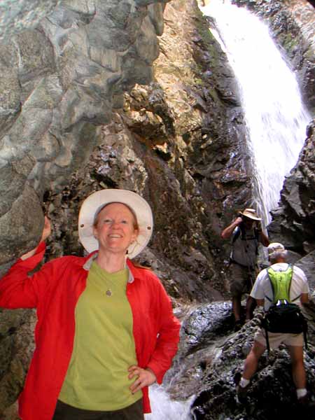
Zapata Falls required hopping stones to get this view

Zapata Falls was spectacular. Was worth the rock hopping to get this view. This picture with three of us gives the falls a sense of scale.

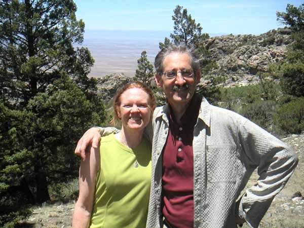
Looking at the basin that holds the Dunes

A nice photo of us with the valley in the back ground. The sun was intense. The wildflowers were in full bloom as well as some oputias – gotta love the cactus! Pleasant to hear the aspens rustle in the wisp of a breeze.

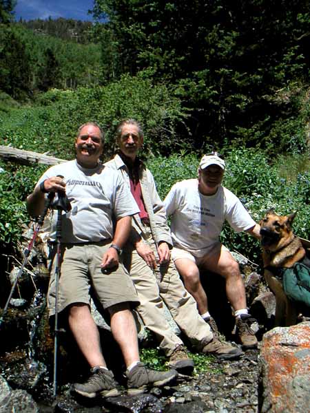
The Architects on the Trail to Zapata Lake

We figure we only made it about 2/3rds of the trail to the lake.  We found out afterwards it was a 5 hour hike to the lake (not round trip), is a 2500 foot elevation gain. So we probably climbed about 1500 foot elevation gain in a 5 hour round trip hike. Snapped this at the stream crossing where we lingered, refueled, and turned back. So next year a bit earlier in the season so it is cooler…?

Organ Pipe Cactus National Monument

We pulled out of SD at 8 AM to travel I-8 with the destination of Organ Pipe Cactus NM in Arizona. We were thinking about the 800 Mile Wall as we saw it snaking over the sand dunes west of Yuma. We had attended a presentation by John Carlos Frey of his documentary at the Palm Desert Library (one of the many events we attended – thanks, Robin) and were sobered by the reality. That was about all of the wall that we saw along with glimpses of the All American Canal, but we saw plenty of Border Patrols – our tax dollars at work. ;-(

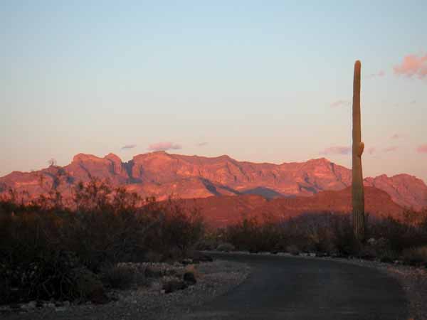
We pulled into Organ Pipe Cactus NM in time to enjoy the sunset, an hour later than California. This is gorgeous country – a beautiful valley surrounded by mountains. This, we were told by the ranger, is “where summer spends the winter”. Edward Abbey would be happy to know that a little bit of his desert solitude prevails.

Our dinner entertainment

We enjoy an incredibly clear night sky compete with Milky Way, satellites, and shooting stars. Next morning, February 1, we motor a 20 mile unpaved road to access a hike to Estes Trail/Bull pasture. We could not have ordered a more perfect day – sunshine and temps in the 60’s…the calm before the storm?

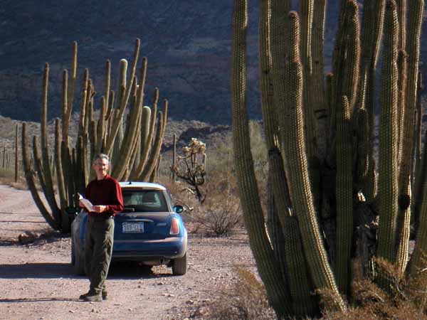
The size of this Organ Pipe Cactus dwarfs the Mini!
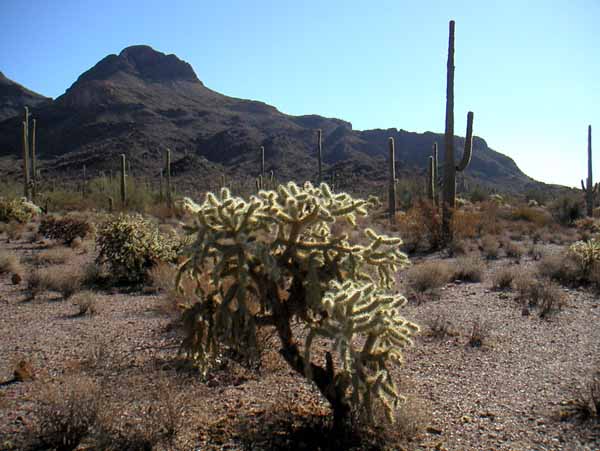
Variety of cactus
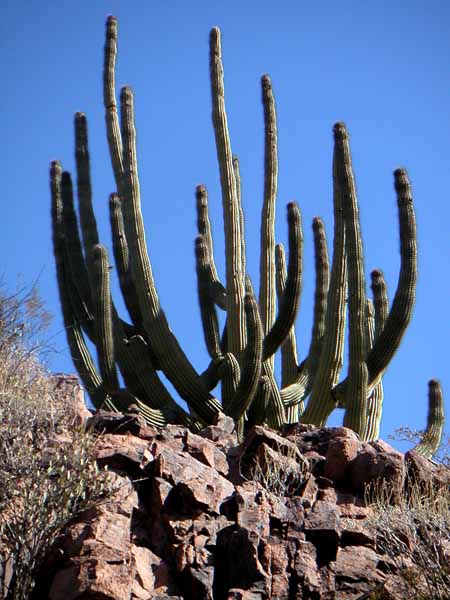
Great specimen of Organ Pipe Cactus
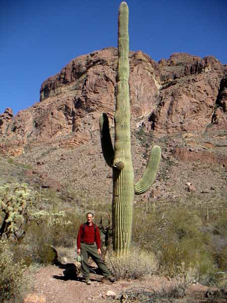
Plenty of wonderful Saguaros also

This is a fabulous National Monument – we saw improvements since we were last here like solar heated showers – nice amenity 😉 But 95% of the park is wilderness and hopefully we will let it remain this way. It should be our southern International Peace park to complement Glacier and Waterton.

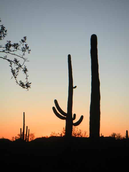
Our final sunset in the desert

San Diego

We had a very nice evening in Poway where my uncle Ken fixed a great salmon meal while Hilary sat on the patio entertaining us. My cousins Kevin and Sheri joined us for dinner making it a very memorable evening. In the morning, we went on Ken’s daily walk around the neighborhood, as he pointed out the various landscape projects he was coordinating. Good visit –

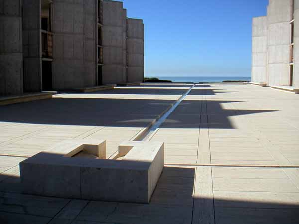
Henry scheduled us for the noon architectural tour of the Salk Institute (Jonas Salk was the discover of the Polio Vaccine). We were lucky to be a bit early as the parking was chaotic, there being the Torrey Pines golf tournament with Tiger Woods playing that morning. But Louis Kahn‘s building has held up well and we enjoyed the leisure time to look at the details. Yet another beautiful January day.

Plaza of the Salk Institute looking towards the Pacific
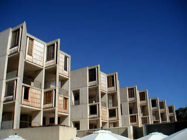
Salk Institute research offices from cafe

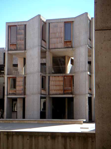
It is only a three story building but there is a floor between each usable floor that is for building systems, so Louis designed the first floor to be garden level. The stairwells have a public viewing, informal meeting area between each of the scientist offices allowing all to have access to the sweeping views of the Pacific.

Looking out stairway across plaza of Salk Institute

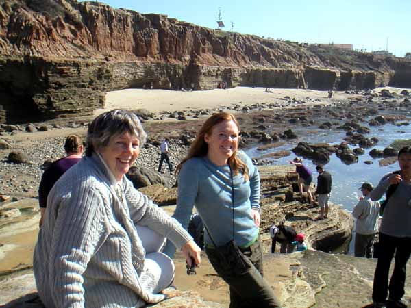
We spent the next day with my aunt Annie, exploring Cabrillo National Monument among other locals. She also took us to the harbor at night to see the large sculpture and the aircraft carrier. Casey joined us for many meals and after 20 years, it was nice to be reacquainted. Thanks to both for another nice visit.

Low Tide at Cabrillo National Monument
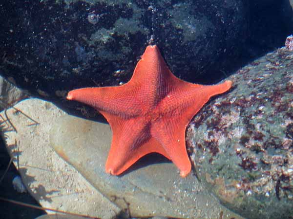
A Beautiful Sea Star in the tidal pool

Guess it is time for us to say good bye to California…thanks for the memories!

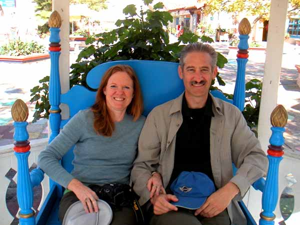
The Spanish Market in Balboa Park

Joshua Tree National Park

19 January we headed to Morongo Canyon Preserve to join up with the morning bird hike. We enjoyed meeting people, and seeing a variety of feathered friends, including a nesting pair of hawks.

We had one more hike we wanted to take to a watering hole in Joshua Tree National Park.  It was another beautiful California day! Hard to believe this is January!

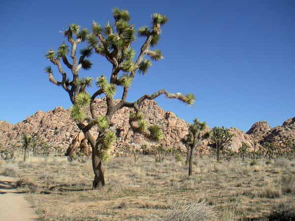
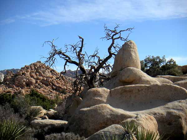
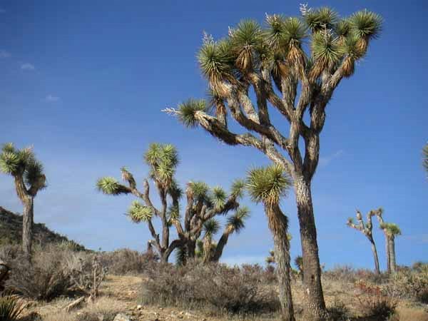
A Joshua Tree on Willow Hole Trail

The Willow Hole Trail is the southern portion of the Boy Scout Trail (near picnic area 8 miles in from West Entrance).  A relatively flat hike up a wash to a waterhole which was interesting – a good destination.

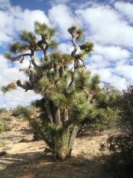
Artistic tree on Willow Hole Trail

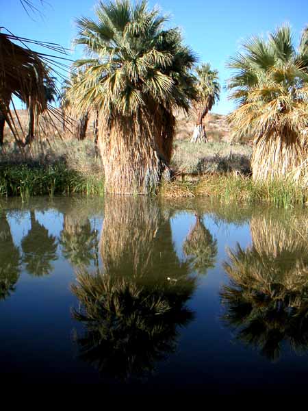
A few days later, 24 January, we headed back to the Coachella Valley Preserve to take this photograph at the pond. We then had a picnic lunch under the California Palm trees, saying  “until we come this way again”.

McCallum Grove Oasis reflecting
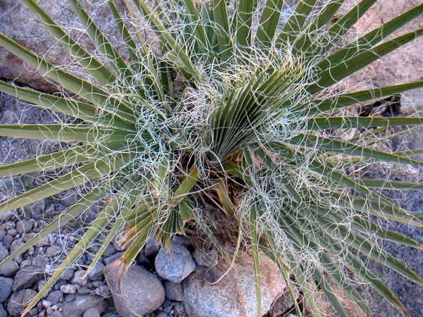
Interesting Flora of a young Palm

Panarama Loop Hike in Joshua Tree National Park

This hike became our favorite because of the views, the vegetation and maybe because we hiked it on such a gorgeous day. The elevation is higher so the temperature was in the mid 50’s and the sky was bright with interesting clouds. We took 50 pictures but have selected the best 4 to share. The hike starts at the Black Rock Campground south of Yucca Valley. It is a 6 mile loop and follows a wash to the ridge where you can see almost 360: Palm Springs, The Salton Sea, Yucca Valley, and the San Bernadino Mountains.

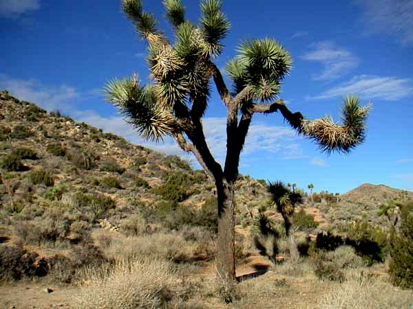
Joshua Tree Jan 7, 2011
Trail through Joshua Tree forest Jan 7, 2011
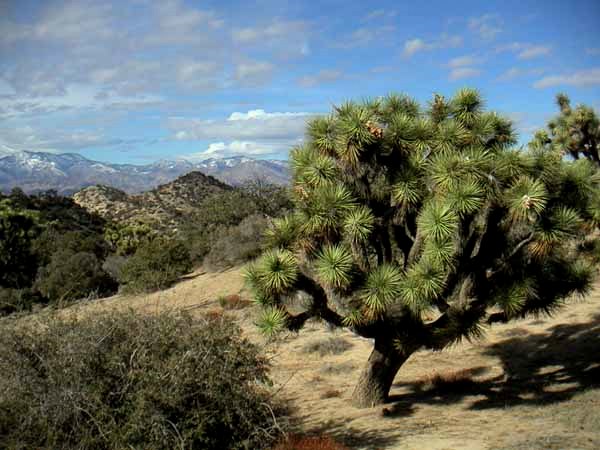
Joshua Tree with interesting clouds Jan 7,2011
Joshua Tree with San Bernadino Mountains Jan 7,2011

Joshua Tree National Park

Another rewarding but long day trip: this time to the north side of Joshua Tree National Park. It was still cool after all the rains – the Pineapple Express that hit southern California. The sky was clear and we were ready to explore.

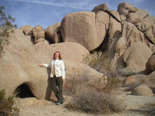
10-12-26 Pam in Indian Cove

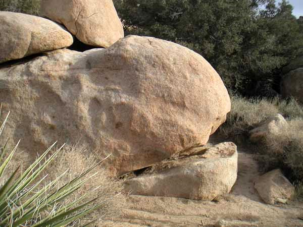
These are giant rocks! Monzogranite. A ranger explained later on a walk we did that they were at one time so far underground it would be as if we were standing on a airplane contrail looking at them. That was an interesting visual analysis, especially as we looked up and saw a plane going overhead leaving the white trail. We thought of our neighbor Philip with this formation 😉

Is this Pac-Man in rock form;-)

Joshua Tree is a type of Yucca and there are Mojave yuccas.  There are many varieties of Opuntias:The Beaver Tail is the one without spines, just glaucoids – they have the more purple color pad with fushia flowers in the spring. There are pancake opuntias which grow taller like trees. And then there are Prickly Pears which are the opuntias with spines and a yellow flower. There are also a variety of chollas which are a type of opuntias. And then there is a Henry O’Puntia 😉

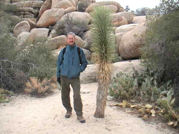
10-12-26 Henry with a young Joshua Tree

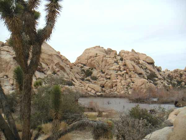
The ranger said it is a bit unusual to have water at the Barker Dam. We did not see any of the desert tortoise but they like to come out when it rains. It got very overcast and the wind picked up and we were quite chilled. Everyone on the ranger walk had on hats, gloves, and coats. Definitely cooler in this higher elevation: this part of the park being in the Mojave Desert.

Water at Barker Dam!

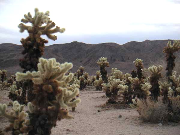
The large cholla cactus garden is in the transition zone between the Mojave and Sonoran desert. This was really a special place to experience: these are the teddy bear or jumping type. I had never seen so many at one time – really worth stopping and taking a look. Thanks Maria for the recommendation to go at sunset though it had clouded over a bit but still more of a glow than at mid day.

Cholla Cactus Garden

Santa Rosa National Monument

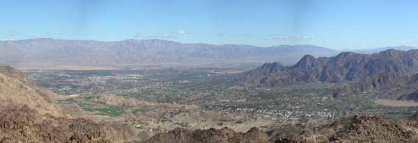
Coachella Valley From Art Smith Trail

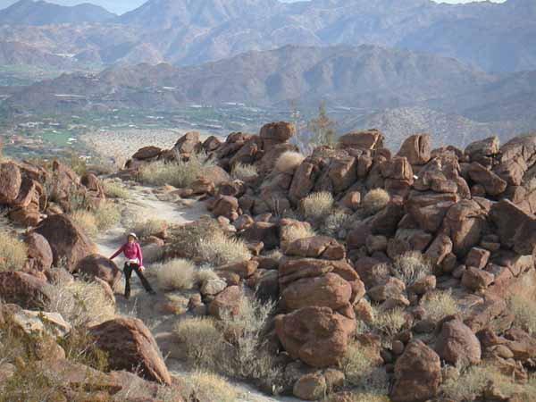
Henry stitched together this photo of the Coachella Valley from our favorite “lunch rock”. It is a steep one and a half mile hike on the Art Smith Trail but great views as well as nice rocks and cactus. We have seen lots of hummingbirds.

11-01-02 Art Smith Trail

The trail also allows views of some of the great homes in the BigHorn development and golf course. Notice how green the valley is from all the irrigation. Normally this part of the Sonoran Desert only gets about 8″ of rain – much less than Denver’s average of 14″. So I am getting new ideas for xeric landscaping from our hikes.  There are 5 groves of palms on this hike – not on the San Andreas fault but another fault: Technically we are on the Pacific Plate not the North American Plate.

10-12-25 Carrizo Canyon

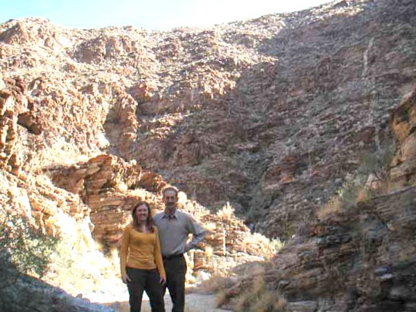
On Christmas morning we took this scenic hike looking for the Big Horn Sheep but didn’t have the pleasure to see them. This trail is only open October through December: the rest of the year the sheep are breeding and raising their young. We explored both the Carrizo Canyon and the Indian Canyon – beautiful hikes.

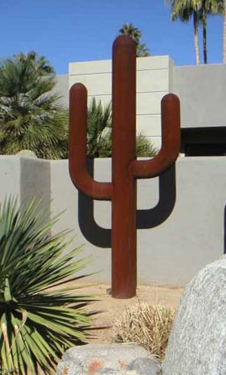
10-12-31 Steel Cactus

The ultimate water free cactus: Totally Xeric 😉

Death Valley Experience


Saturday, 4 December 2010 we visited Death Valley National Park – Henry’s last National Park in the continental USA west of the Mighty Mississippi. We camped at Texas Springs and saw a star gazing program with the ranger at Zabriskie Point. Here is a picture during the day

Later in the day we hiked Golden Canyon and came upon this bit of wildlife. The ranger told us it was a male Tarantula as the females are even a bit larger, since this one was as large as Henry’s hand.

As we were waiting for a ranger led walk through the dunes, we read about the park in the newsletter…noticing the picture was taken where we were sitting. It was a good nature walk as we learned about the creosote bushes and how the kangaroo rats lived in the roots – we saw some tracks but only saw a stink bug.

We stayed and watched the sunset before camping a second night at Emigrant Pass. More star gazing tonight as it looks very clear.