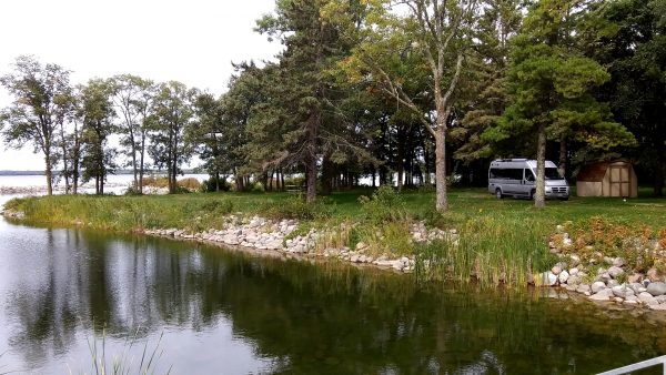
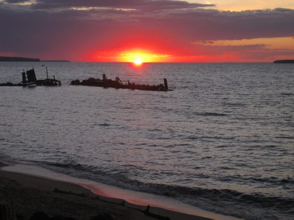
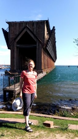
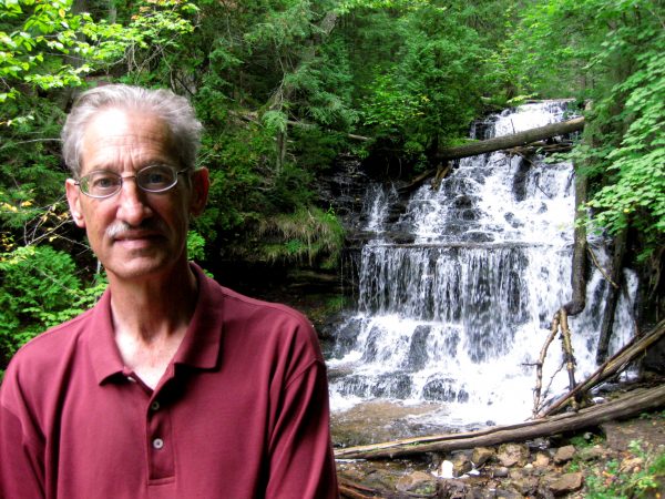
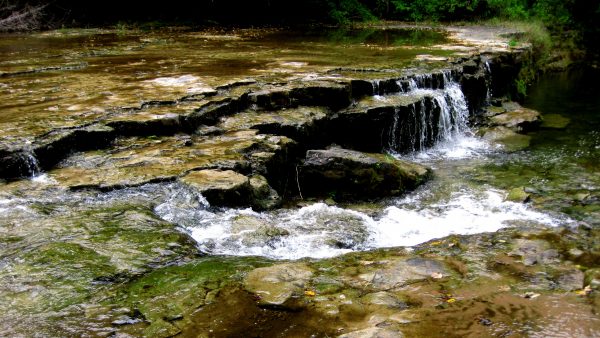
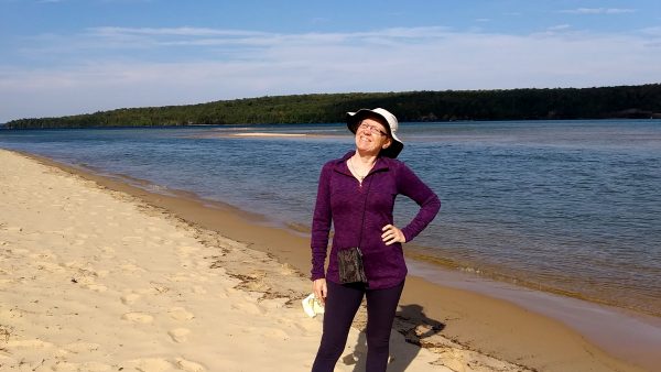
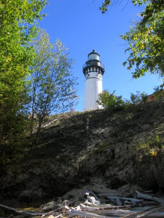
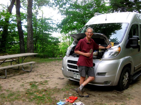
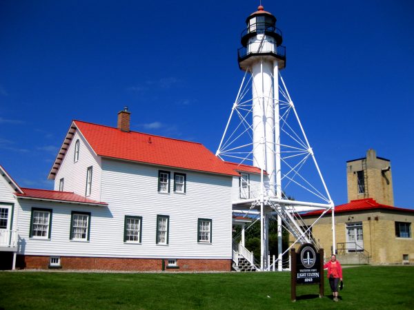
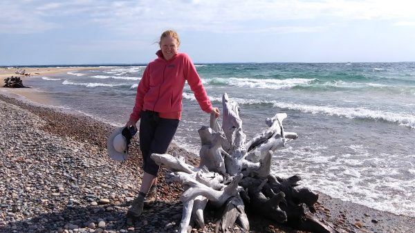
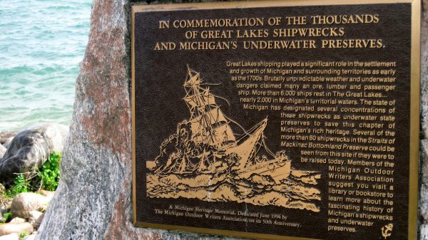
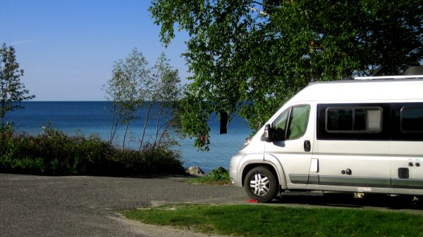
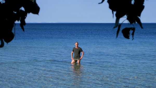
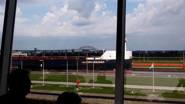
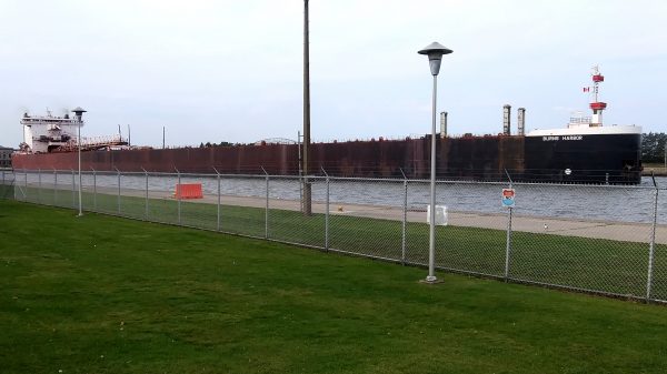
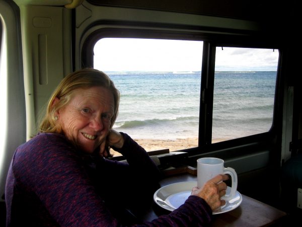
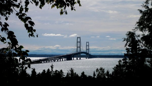
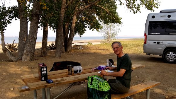
Taking a break: How many miles have we driven?A pleasant campsite at Cass Lake near the headwaters of the Mississippi River — along our route.We had a proper sunset view from CG in Apostle Islands NLS.Marquette’s Ore loading dock – we got a take out pizza and enjoyed this View!The coveted photo: Miners Castle at Pictured Rocks NLS. We last visited in 2016.Hiked in to see this beautiful waterfall at Pictured Rocks NLS.More water falls to enjoy.Long sand beaches for our morning walks. Spectacular to be here.We walked about 2 miles along the shoreline to reach Au Sable Light Station.Time for a bit of maintenance – replacing the headlight bulb — took watching YouTube video on phone, buying bulb, and lots of patience using improvised tools.Whitefish Point Lighthouse is the oldest operating lighthouse on Lake Superior, protecting part of this notorious 80-mile stretch.The wreck of the Edmund Fitzgerald in 1975 with her entire crew of 29 lies just 15 miles northwest of Whitefish Point.The many moods of Lake Superior have caught many ships unaware.We hung out for the day and spent the night at this boat launch as all nearby campgrounds were full on a Saturday night.Water in this bay was warm and calm enough for a swim.Sault Ste Marie Soo Locks had an outdoor viewing platform to watch the freighters rise or fall to the proper level of lake Superior or Lake Huron.Freighter coming out of Soo locks at a nearby park where we had a picnic lunch.Front row seat to continue watching the freighters during Wine o’clock and dinner at Bay Mills CG.The Mackinaw Bridge! 3,000 miles in 3 weeks since we have left home. Ready to visit Mom!
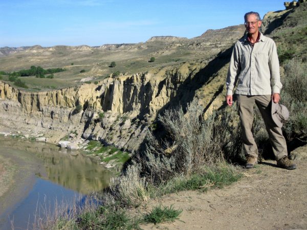
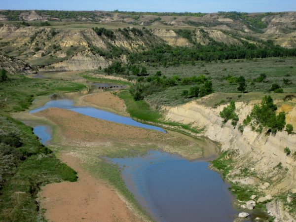
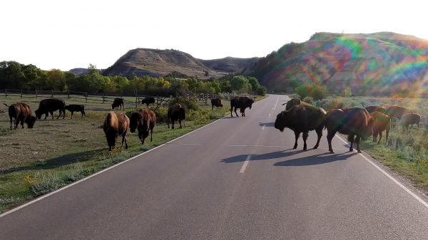
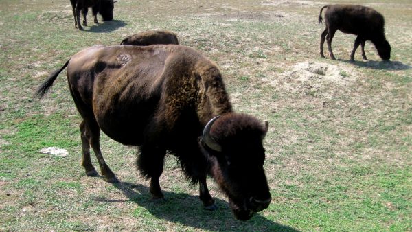
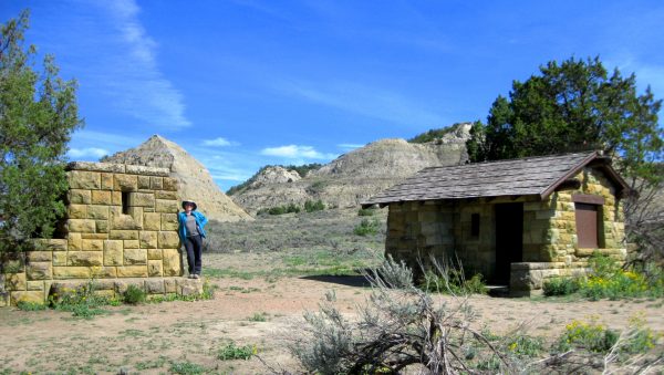
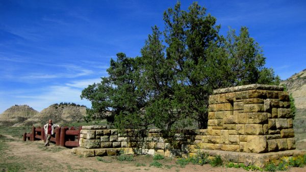
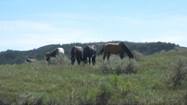
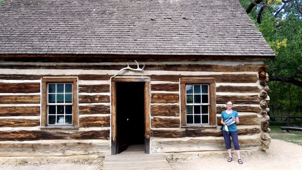
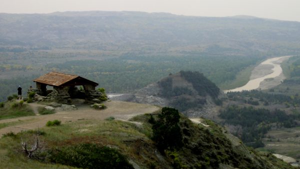
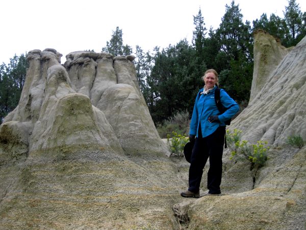
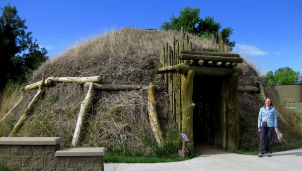
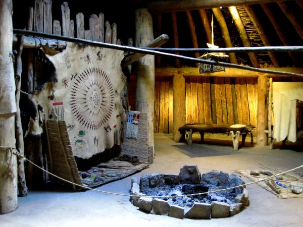
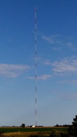
Starting our drive across the country…It is all in how your measure it.A nice reservoir here to enjoy a quiet evening.Gorgeous reflections this morning on the Little Missouri in Theodore Roosevelt National Park – South Unit.Watching a herd of Bison crossing the Little Missouri – water low enough we could cross also.A Bison traffic jam. We are late to start a hike!Seeing the Bison up close from the van.The historic original entrance gate to the National Park before it was rerouted through Medora, ND.Amazing CCC stone work with precise joints.Wild horses or as the rangers say feral horses but they have been here a long time.Theodore Roosevelt’s hunting cabin – this was where he came for his solitude.Hiked the Caprock Coulee Trail in North Unit with a stop at River Bend Overlook and the CCC structure.Hoodoos in the badlands. We saw a bunch of petrified wood also.A geological phenomenon called concretions – bowling ball type of rocks embedded in other rock.Knife River Indian Villages National Historic Site – we were here also 10 years ago.The display hasn’t changed but we enjoyed being able to be here again.Driving across country we passed KVLY-TV Tower, Western Hemisphere’s Tallest Structure at 2,063 ft is in North Dakota.
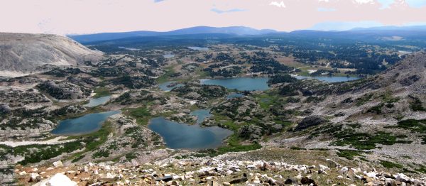
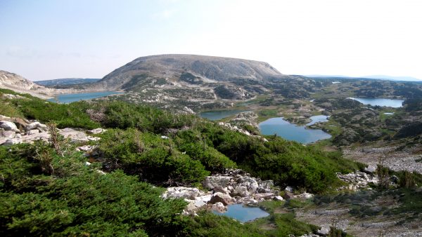
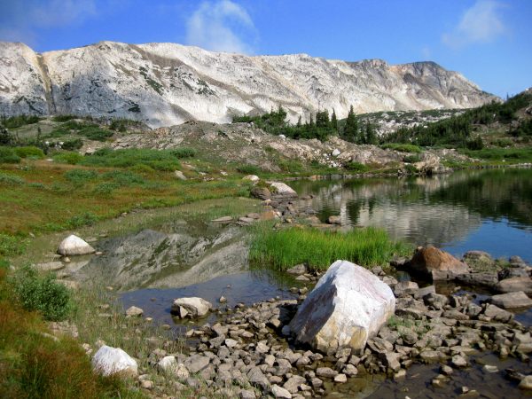
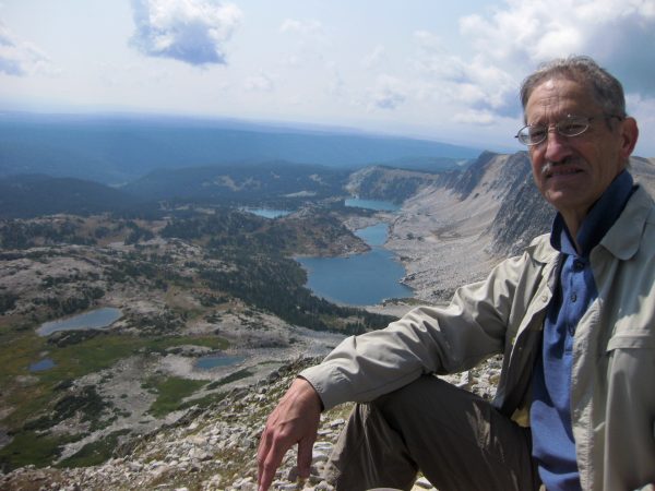
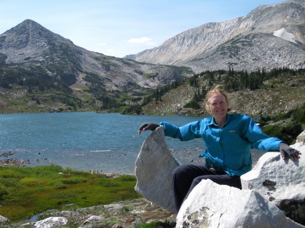
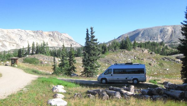
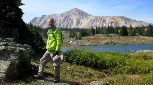
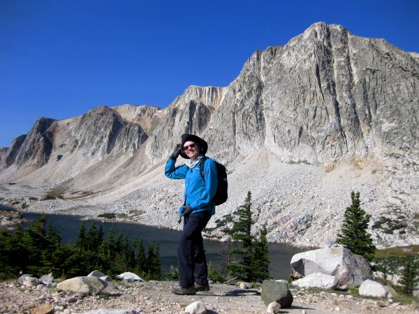
So many beautiful alpine lakes in this one area of the Snowy Mountain Range.The lakes appear to change color during the day as they reflect the mood of the sky.As we hike by, there are numerous reflection of the surrounding Rocky Mountains.On top of the world: the first day hike is to summit Medicine Bow Peak.We were here 7 years ago and took a picture at this spot at start of hike to Lost Lake. https://tealsky.com/2014/09/08/medicine-bow-national-forest-in-wyoming/Our bit of Paradise for 5 nights! Sugarloaf campground has 16 sites and one can start many great hikes – starting elevation 10,700.Easy stroll to Libby Lake to watch the changing shadows on Sugarloaf.Another beautiful September day for a hike to Lake Maria. A great way to celebrate Labor Day.