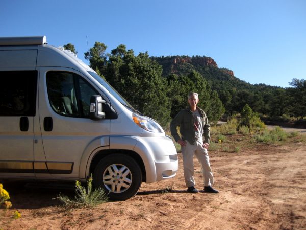
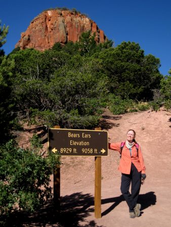
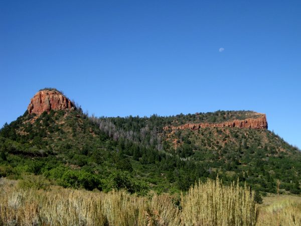
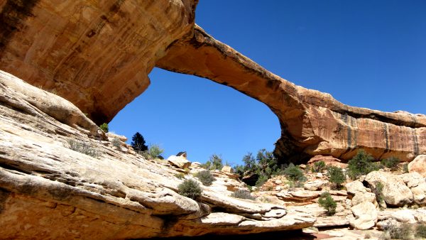
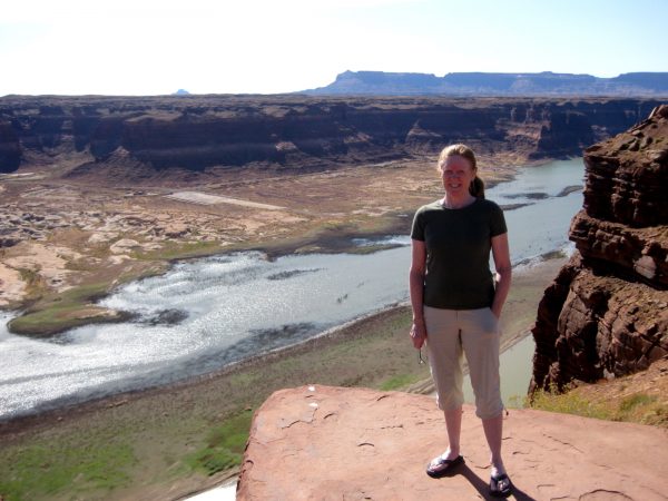
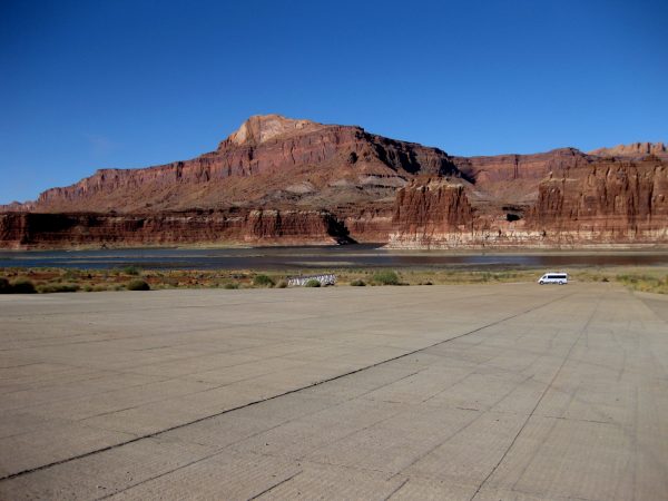
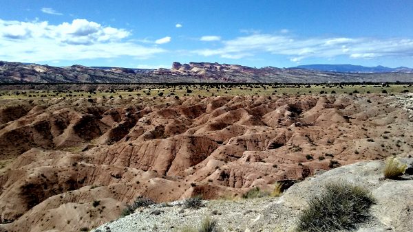
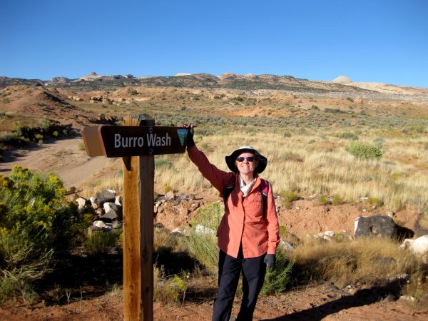
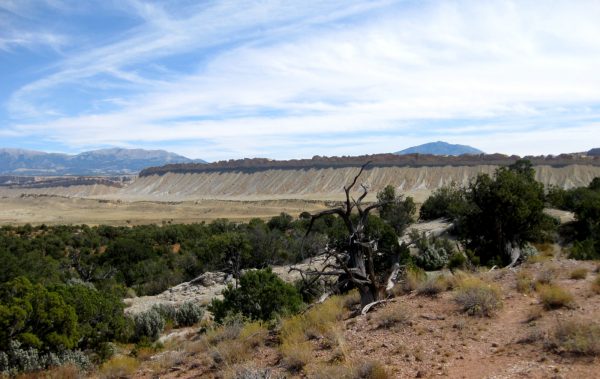
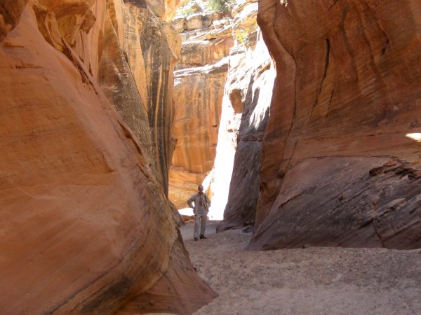
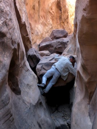
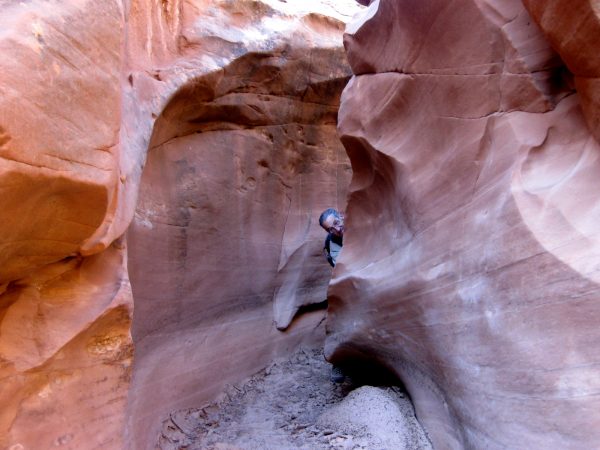
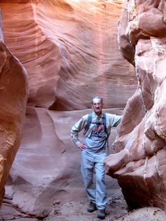
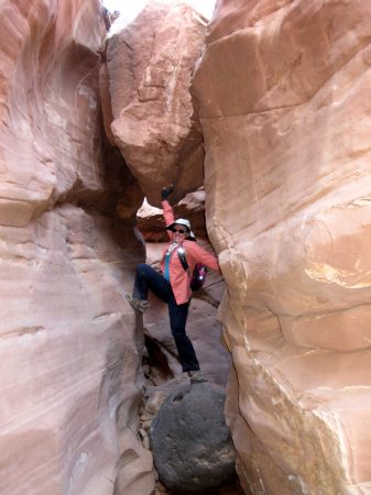
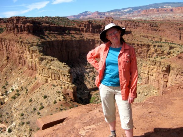
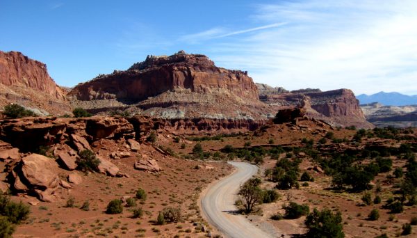
Bears Ears National Monument:. Our first night of planned 6 weeks of travel visiting many places we had last visited in 2009.We had enjoyed this area many other times but not actually camped and hiked at the summit of the ears.We hiked around the summit area. Link to vicinity pictures in fall of 2016Natural Bridges National Monument: we hiked the canyon trail again that weaves under all the bridges. Link to photos in May 2012Overlooking the Colorado River as it enters Lake Powell on a very pleasant fall day at Glen Canyon National Recreation Area.Water is low exposing this runway to Lake Powell reservoir. We were wondering if we should bring our kayaks as there were not too many campers this late in the season.Our dispersed camp site on BLM land south of Highway 24, east of Capitol Reef National Park. Can you find the Travato? What a view in all directions!We hiked Burro Wash, Cottonwood Wash, and Sheets Gulch Slot Canyons (on three separate days) that are along the Eastern side of the Waterfold Pocket formation.This is a view of the Waterfold Pocket looking North from the Cedar Mesa campground (off Notom-Bullfrog Road). We hiked the Red Canyon Trail to a large amphitheater.Very fun and unique slot canyons.There were a few challenges to overcome.And a few predators linking around the bends.Amazing that these dry washes could scour these canyons so smooth and deep.Luckily I could stop this rock from blocking my path!We explored the busy main part Capital Reef National Park, listening to a ranger’s geology talk at the visitor center and then heading to an overlook to contemplate the rock layers.As we leave Capitol Reef National Park and head west towards Nevada…