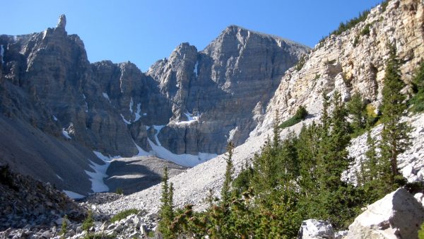
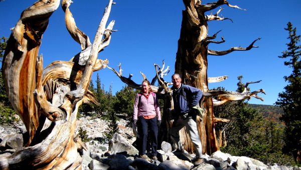
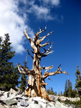
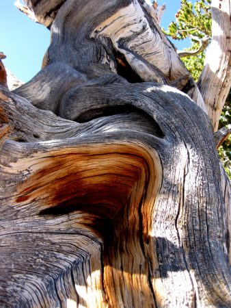
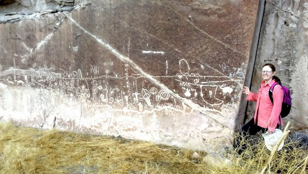
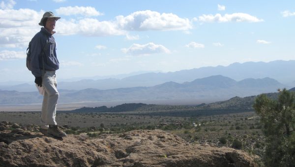
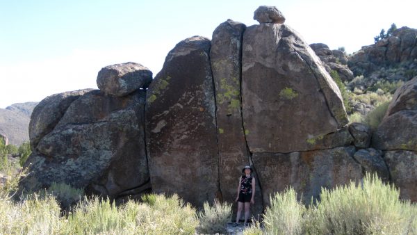
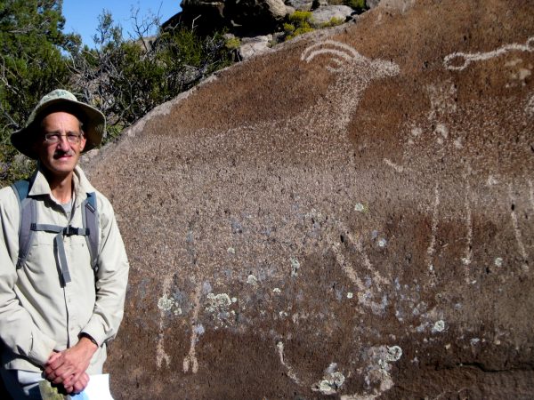
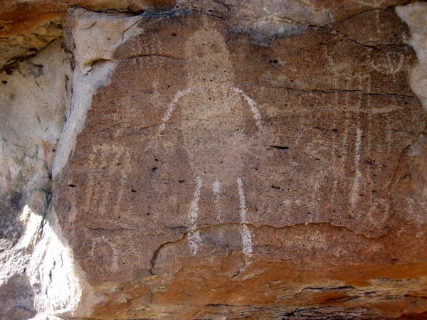
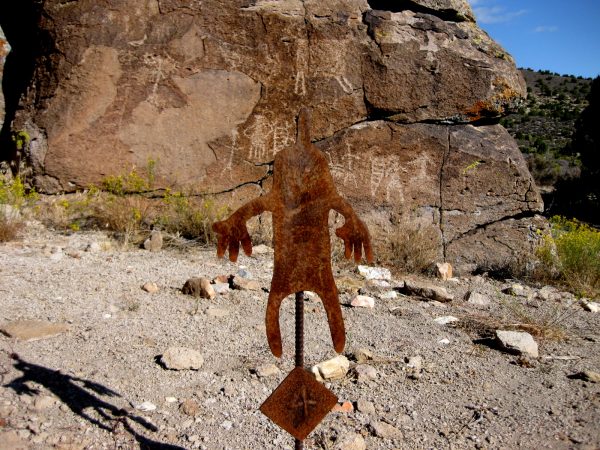
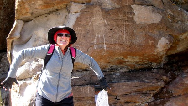
Great Basin National Park: We hiked to the last glacier in Nevada at Wheeler Peak.We enjoyed the ancient Bristlecone Pine forest on the way – marveling at the longevity of these old trees. Do you know the Prometheus story?These trees are so special and we are so fortunate to have the oldest trees on earth here in the southwest.So sculptural with all the forces of nature.We were lucky to be here for the 10th annual astronomy event so we enjoyed star gazing and lectures. This is also the most fall color we saw as we documented 31,000 miles on the van.Our departure morning as there is a winter storm approaching. We will miss the snow heading a bit farther south – but not the winds.The White River Narrows Archaeological District of Basin and Range national Monument, created in 2015. An amazing amount of petroglyphs.We dispersed on BLM land just off the road here so we could hike to all the archeology sites. Can you spot the Travato in the Basin?Most petroglyphs are carved in boulders. They are actually a bit difficult to spot. There are no marked trails but we enjoyed just hiking around and contemplating history.Some of these sheep are life sized!Rock art by desert archaic people.Mount Irish area rock art includes a distinctive anthropomorphic image called Pahranagat Man.Or is that Pahmranagat Woman?
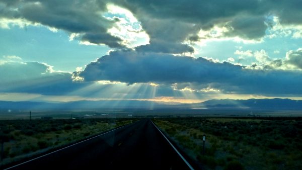
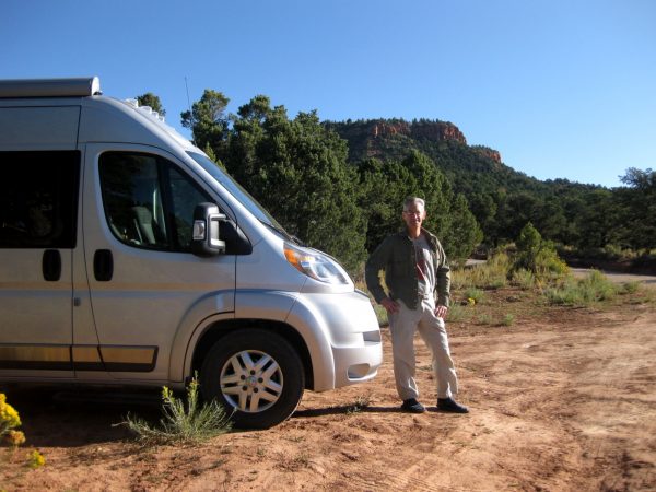
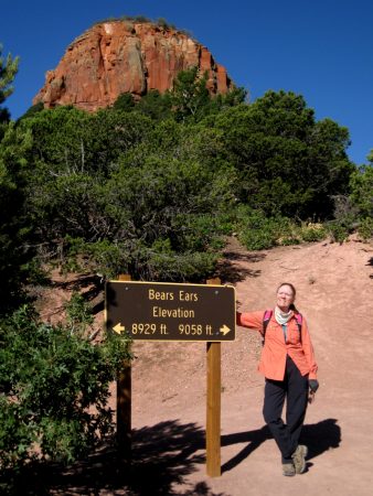
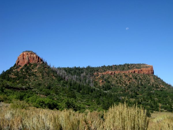
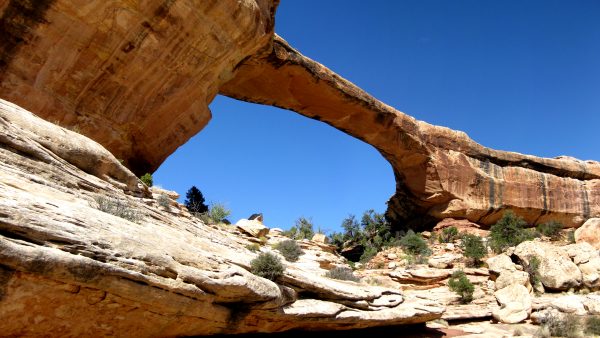
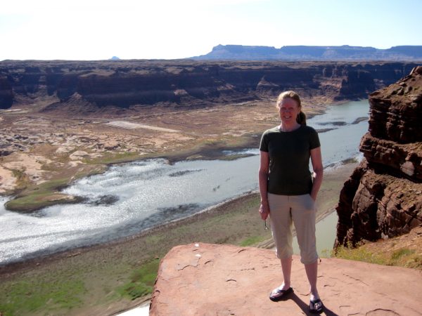
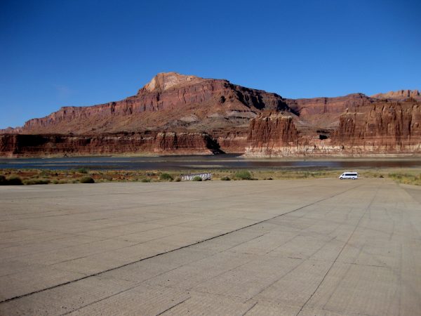
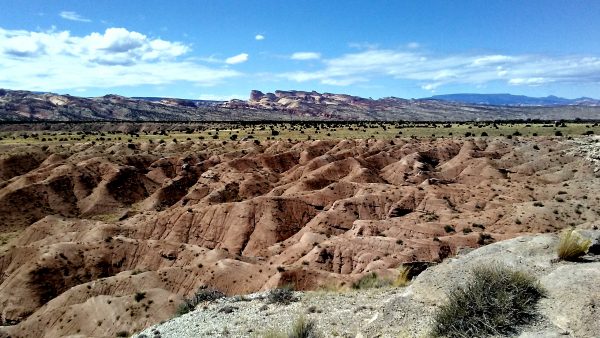
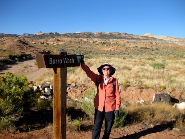
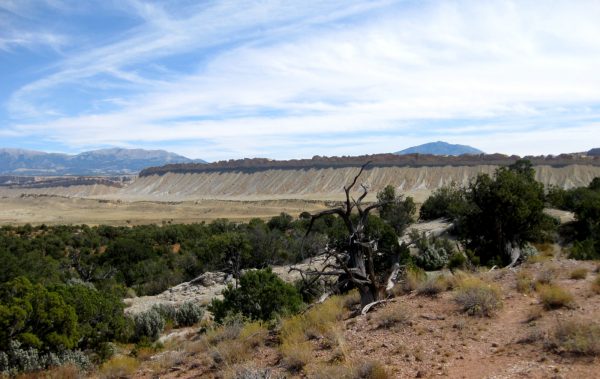
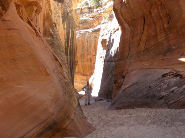
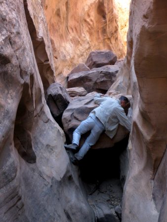
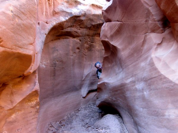
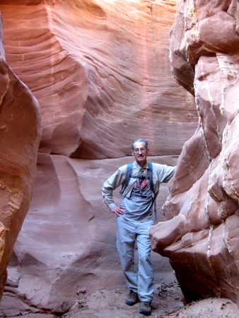
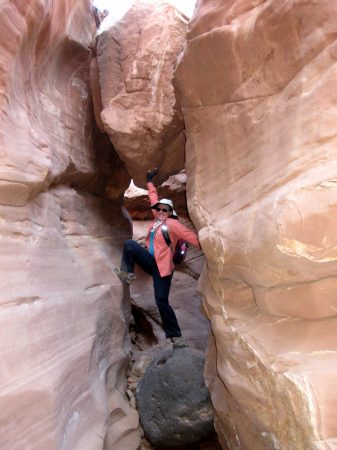
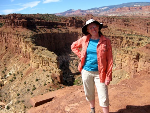
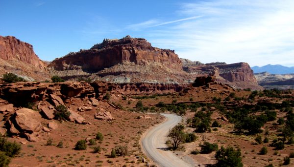
Bears Ears National Monument:. Our first night of planned 6 weeks of travel visiting many places we had last visited in 2009.We had enjoyed this area many other times but not actually camped and hiked at the summit of the ears.We hiked around the summit area. Link to vicinity pictures in fall of 2016Natural Bridges National Monument: we hiked the canyon trail again that weaves under all the bridges. Link to photos in May 2012Overlooking the Colorado River as it enters Lake Powell on a very pleasant fall day at Glen Canyon National Recreation Area.Water is low exposing this runway to Lake Powell reservoir. We were wondering if we should bring our kayaks as there were not too many campers this late in the season.Our dispersed camp site on BLM land south of Highway 24, east of Capitol Reef National Park. Can you find the Travato? What a view in all directions!We hiked Burro Wash, Cottonwood Wash, and Sheets Gulch Slot Canyons (on three separate days) that are along the Eastern side of the Waterfold Pocket formation.This is a view of the Waterfold Pocket looking North from the Cedar Mesa campground (off Notom-Bullfrog Road). We hiked the Red Canyon Trail to a large amphitheater.Very fun and unique slot canyons.There were a few challenges to overcome.And a few predators linking around the bends.Amazing that these dry washes could scour these canyons so smooth and deep.Luckily I could stop this rock from blocking my path!We explored the busy main part Capital Reef National Park, listening to a ranger’s geology talk at the visitor center and then heading to an overlook to contemplate the rock layers.As we leave Capitol Reef National Park and head west towards Nevada…
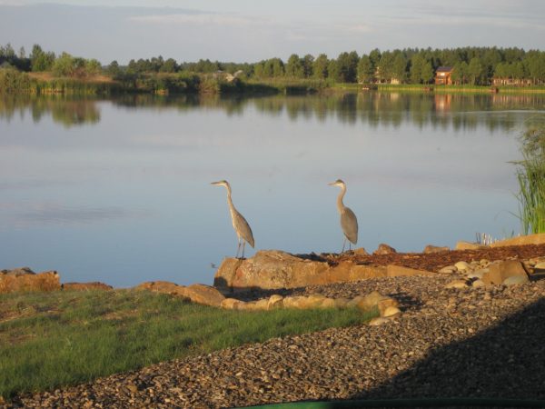
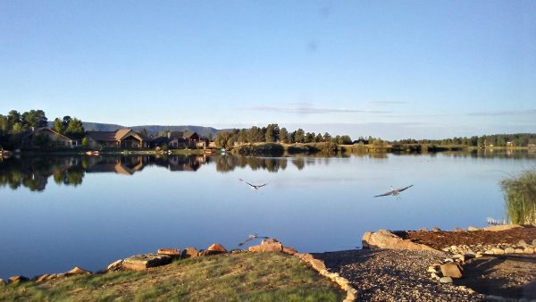
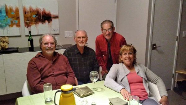
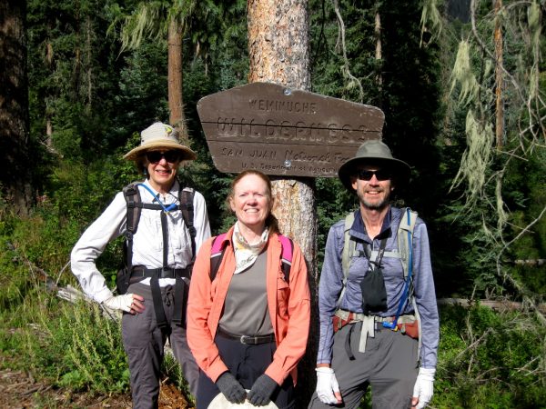
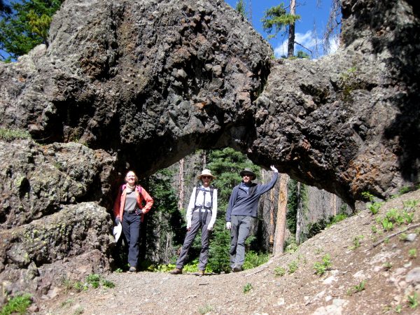
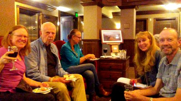
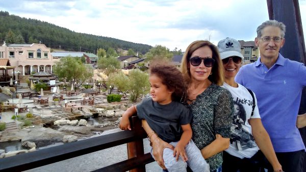
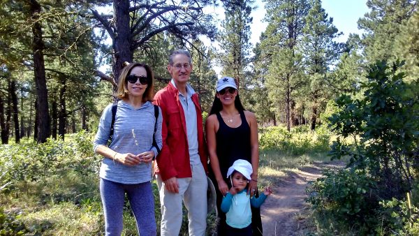
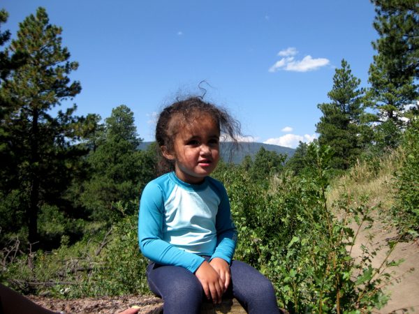
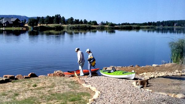
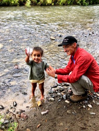
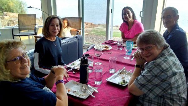
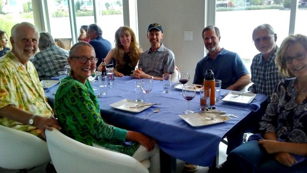
Great Blue Herons enjoying early sunshine on the rock wall.And gave us a view of their magnificent wing span.Our guest room had some activity with friends from Santa Fe!J & J came back for 2 weeks of R & R – we would not let them work this year!Supporting the arch in the Weminuche Wilderness, Colorado’s largest wilderness! For more of J & J’s adventuresWe gathered with fellow Chimney Rock Volunteers at the Springs Resort.Family comes from Florida to visit!We hiked at a 2 year old pace – but got to look at lots of leaves, flowers, sticks and bugs!Precious!Got everyone out kayaking.And all appreciated the water!Another excuse for a dinner party!Largest yet with 14 of us gathered!